
 Italiano
 Deutsch
Val del Capel

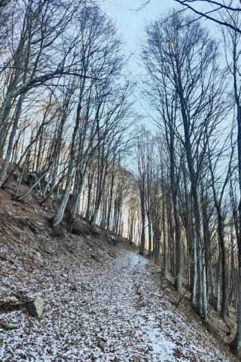
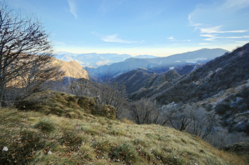
Loop tour, not outstanding. Good cue for other routes in the area. Or for the views. Start from Gazzaniga and by trails all doable by emtb (less so by mtb) we climb to Ganda. Another alternative, always by emtb, is to climb from Bates col. In mtb going up from Gazzaniga, evaluate according to your leg how much to stay on path or on asphalt. From Ganda the view deserves a lot, from Poieto (next stage) even more. At Poieto the climb is very beautiful and scenic, with last 50 meters doable only by emtb.
From Poieto following the trail we take a nice S2+ descent that comes out at the 'fork'. From here we take off our pads and keep our helmets on, we have 80 minutes of traverse ahead of us of which 50% will be with the bike pushing. After a nice pedaled section and a short descent begins the traverse that leads towards the Barbata pass, during the traverse there are some fun sections doable in the saddle but also many sections with a push bike (two sections also quite challenging), be careful to some areas a little exposed (I think this traverse could be more enjoyable if done in reverse).
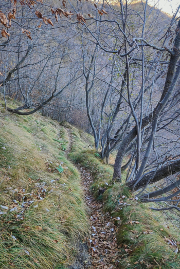
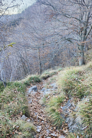
From the Barbata pass it becomes more rideable but still with push-bike sections, the saddle sections have some S3 passages, at the crossroads it is possible to continue to the Sedernel (and then return to the crossroads) or start the descent, a fairly destroyed S3 with a lot of sections not doable in the saddle (or at least the too many leaves did not allow me to do many passages), several climbs to be done with the push bike that make the descent not very enjoyable.
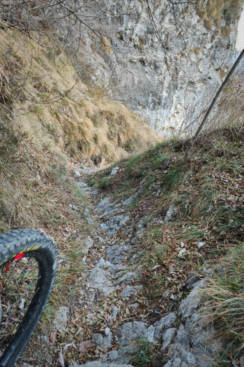
The final section is very characteristic and comes out in the valley of the waterfalls of Val Vertova (no phone reception in this valley so be careful).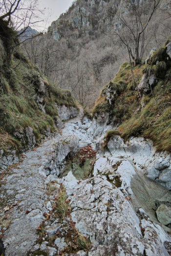
Personal rating: 6/10
MTB: Yes
EMTB: Yes, but factor in many sections to be pushed.
Difficulty climb: Very challenging pedalable part following the trail, staying on asphalt is less challenging.
Difficulty descent: S3/S4
Drainage: Yes
Duration/physical effort: although with little elevation gain the ride is very challenging. 4 hours on emtb without many breaks (used up all 700Wh)


