2023/12/07 20:03:47
Zan Trail
Author
Place
Italy - Emilia-Romagna, BO
Km
23,11 km
Elapsed time
02:13:00
Vertical meters
+570 mt (480 - 931)
Route difficulty
Landscapes
Last update
2025/05/14 14:22:18
Comments
Description
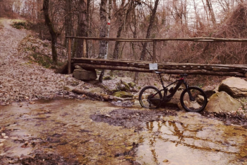
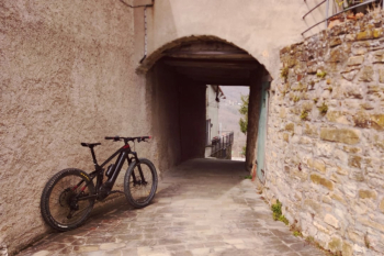
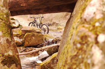
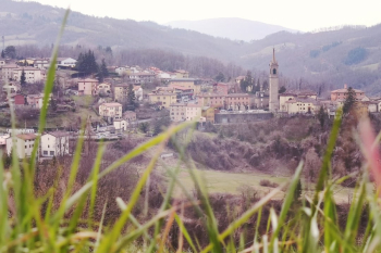
Tour dedicated to discovering the trails of the Sambro Valley, through stupendous natural corners and characteristic villages such as Qualto, Madonna dei Fornelli, Montefredente and the main town, San Benedetto.

The tour, although not trivial, does not present particular difficulties.
Route tabulated with appropriate signage


Local weather
Oggi

24 °C
Stasera

12 °C
Domani

26 °C
Domani sera

14 °C
venerdì

24 °C
Venerdì notte

12 °C
Graph
Nearest Routes
32,44 km
Km
+820 mt
Vertical meters
Route difficulty
Landscapes
18,11 km
Km
+718 mt
Vertical meters
Route difficulty
Landscapes
18,41 km
Km
0 mt
Vertical meters
Route difficulty
Landscapes
27,26 km
Km
+776 mt
Vertical meters
Route difficulty
Landscapes
19,43 km
Km
+728 mt
Vertical meters
Route difficulty
Landscapes
16,42 km
Km
+650 mt
Vertical meters
Route difficulty
Landscapes
22,18 km
Km
+700 mt
Vertical meters
Route difficulty
Landscapes
26,15 km
Km
0 mt
Vertical meters
Route difficulty
Landscapes
21,58 km
Km
0 mt
Vertical meters
Route difficulty
Landscapes


 Italiano
 Deutsch