2023/11/07 21:34:25
Dai laghi di Fusine al rifugio Zacchi
Author
Place
Italy - Friuli-Venezia Giulia, UD
Km
11,17 km
Elapsed time
02:42:54
Vertical meters
+400 mt (942 - 1386)
Route difficulty
Landscapes
Last update
2023/11/08 08:52:56
Comments
Description
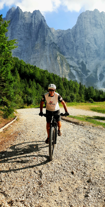
From the beautiful lakes of Fusine you go up to the Zacchi refuge via forest road. The road has some sections that are a bit steep, so you need to be quite trained or go up by ebike.

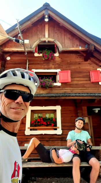
When you arrive at the refuge, with excellent refreshments, you can enjoy the beautiful view of the Slovenian border alps. The descent can be on the same road for the less technical or along the trail, only for experts.

Local weather

°C

°C

°C

°C

°C

°C
Graph
Nearest Routes
20,42 km
Km
+710 mt
Vertical meters
Route difficulty
Landscapes
18,79 km
Km
+1 100 mt
Vertical meters
Route difficulty
Landscapes
18,75 km
Km
+1 000 mt
Vertical meters
Route difficulty
Landscapes
59,02 km
Km
+2 827 mt
Vertical meters
Route difficulty
Landscapes
32,90 km
Km
+1 560 mt
Vertical meters
Route difficulty
Landscapes
8,62 km
Km
+770 mt
Vertical meters
Route difficulty
Landscapes
2023/08/08
- Italy - Friuli-Venezia Giulia, UD 18,22 km
Km
+1 100 mt
Vertical meters
Route difficulty
Landscapes
2023/03/02
- Italy - Friuli-Venezia Giulia, UD 26,55 km
Km
-2 800 mt
Vertical meters
Route difficulty
Landscapes
35,84 km
Km
+1 300 mt
Vertical meters
Route difficulty
Landscapes
42,09 km
Km
+1 600 mt
Vertical meters
Route difficulty
Landscapes


 Italiano
 Deutsch