
 Italiano
 Deutsch
Rifugio Azzaredo Balicco dal 101
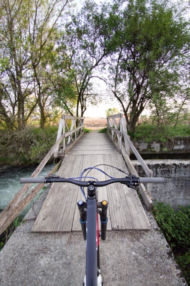
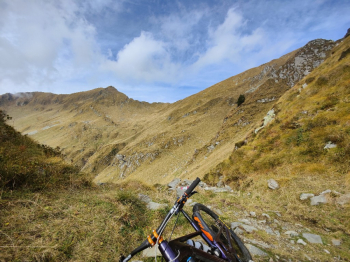
Mountaineering route with bike with bike on back, exposed sections, and a long section on non-bike trail. Less inconvenient alternative to this trail is to climb directly from the starting point to the refuge. Start at the 9th hairpin bend on the road to San Marco Pass, comfortable ascent on asphalt to the pass.
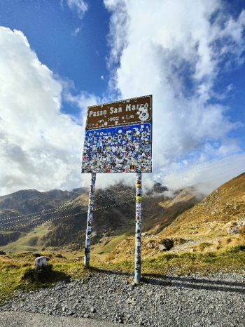
Continue on the Sondrio side to immediately enter the trail that climbs to Cima Villa, climb rideable only with Emtb otherwise pushable. From here to being able to ride steadily will be about 1h30/2h. Past the col after a very short descent it becomes all pushing and with a last 20m stretch on the shoulder to the ridge.
On the ridge you will pedal maximum 20 meters After passage on ridge exposed on both sides with bike in hand we descend for 15 meters from a very steep wall where it touches to unclimb with wall front and bike on shoulder.
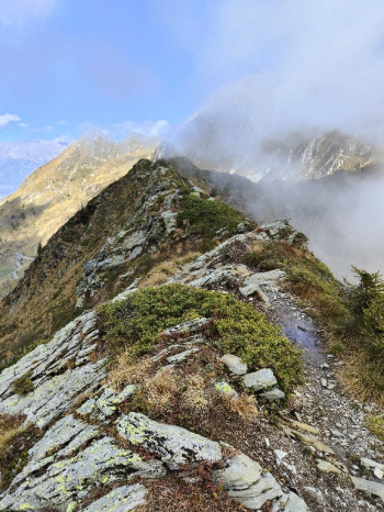
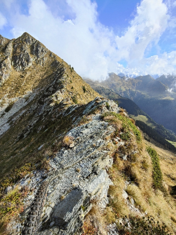
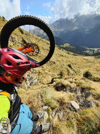
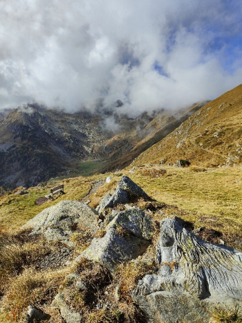
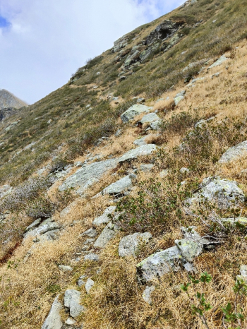
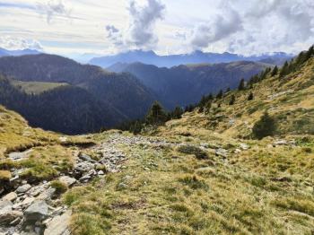
We continue for about another 100 meters on flat, slightly exposed trail and then continue on the entire 101 trail with bike in hand, rideable sections are maybe 10%. At the little hut 200 meters before Porta Pass you finally manage to pedal a little something up to the pass.
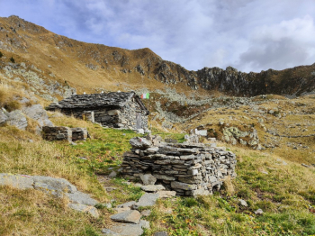
From the Porta pass to the Alberto Zamboni bivouac you pedal 80%. From here it is all downhill and doable in the saddle. We pass in part to the Azzaredo Balicco refuge (very busy) and then continue on the trail of which the first part is very technical (S3+) on beautiful very grippy rock and then continue on less technical trail (S2) with many loose stones.
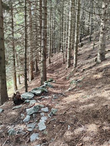
Final on trail back to starting point with up and down dipped in tree roots.
Itinerary that I personally connected to the Alta Via Mercatorum. Also risky and not for everyone.
MTB: Yes
EMTB: Not recommended, ok only if you can shoulder it
Difficulty uphill: Easy pedaling, the rest is done by bike on shoulders or by hand
Difficulty descent: S3+/S2
Drainage: Done after multiple days of rain, found no slippery parts.
General note(valid for all my trails) Before you take the trail assess your abilities well. Read the description well, the trail may include exposed push or shoulder sections. At the time of entry this ride is all doable. No liability is accepted for any inconvenience due to lack of trail maintenance or deterioration of the trails due to external and/or natural agents and misjudgment of the tour.