Cresta dello Zatta
This loop route starts from Chiavari and reaches the top of Zatta.
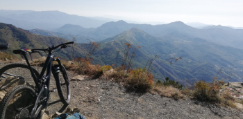
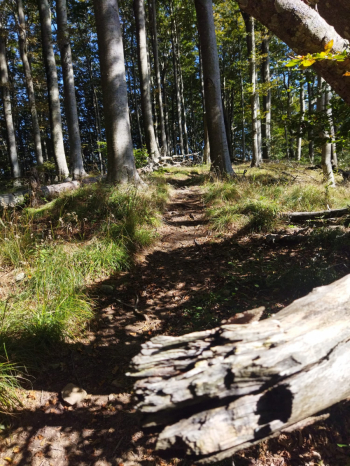
The first part is all on asphalt, passing through Carasco and taking a right towards Borzonasca. Past the little turn of Borgonovo you take the Bocco climb on the right, 15 km with a constant gradient, rideable comfortably. When you reach the pass you can refuel with water from a tap on the side of the Devoto refuge. Take a right and descend on asphalt and then take the dirt road to the right towards the Devoto Colony. Leave the dirt road for a path on the left that after a hundred meters of shouldering becomes rideable, a delight inside the beech forest. At the fork for Mount Prato Pinello, we take a right for a long, slightly uphill, rideable traverse. We thus arrive just below Zatta di Ponente, with the last few hairpin bends of the trail to go, some biking and some pushing. Once on the ridge, the view of Tigullio repays all the effort!

Now continue along the ridge with continuous up and down, some in the beech forest and some in the open, with short climbs to push or shoulder.

Past Prato Pinello and Zatta di Levante we stay on the Alta Via and descend on a beech forest trail, with flowing pieces and steeper ones. Just before reaching the asphalt we turn sharp right and take the Baciccia trail, a beautiful single track that then becomes a dirt track and leads us to the Gatto Pass, between Zatta and Chiappozzo. Here we are straddling Val di Vara and Val Graveglia, with beautiful 360-degree views. We lose a bit of elevation on dirt track and then take the path to the left at the height of the target shooting range, this path will take us up to the Biscia pass where you can choose how to descend, this track goes down on the dirt road to Statale and then on asphalt to Ne and then back to Chiavari, but for those who want to extend you can continue on the Alta Via delle 5 Terre.


 Italiano
 Deutsch
