Giro del Monte Rosa 2/5: Bivacco Lanti/Lago delle Fate/Macugnaga/Passo Moro/Bivacco Antigine
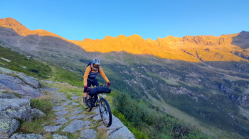
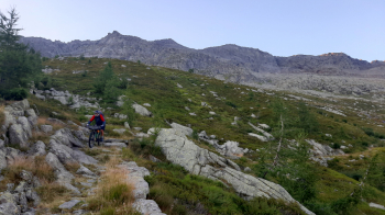
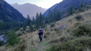
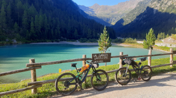
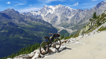
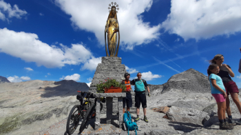
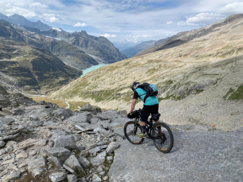
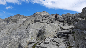
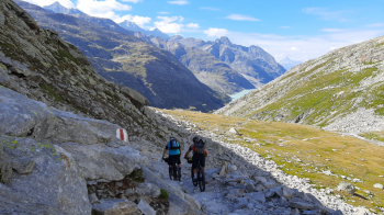
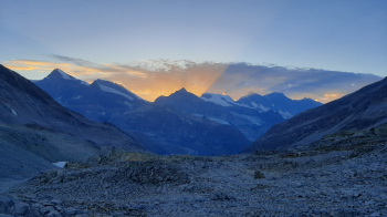
We set off at dawn and start descending toward Fairy Lake. The initial part is smoother, while further down the bottom is much more uneven, slimy and full of obstacles and potholes that force us to do several pieces of it on foot. Once at the lake we follow the forest road down to Isella and proceed along the river to a bridge where we cross the Anza stream and arrive in the center of Macugnaga. Breakfast and some provisions and then it's back on. We pass by the Church where you can see a centuries-old linden tree right there in front. We arrive at the Sports Center and from here we take the TMR trail. There is a "bike" path made this year (blocked then x problems with customs clearance, but practically it is almost complete). Since the initial part is cordoned off for works we decide to do the first piece on the TMR trail (bike on the shoulder). We arrive just below Alpe Bill (1600 m) and from here we take the track that allows us to push the bike easily, then higher up we can even pedal something, but the ramps are very steep. We arrive at Rifugio Oberto Maroli (2796 m) where an excellent steaming polenta awaits us (last part with bike on the shoulder because steep bottom with loose stones). We climb with the bike on our shoulders to the Madonna delle Nevi (a little on the steps, a little on the stone slabs so as not to bother people descending). After the pass we start to descend (at least 150 meters with bike on the shoulder paying special attention to some points), then there are some nice slabs with exceptional grip that allow several sections to be done in the saddle. At the bottom of the valley we take a traverse that goes up a few hundred meters and then allows us to turn into the side valley that leads to the Ofentalpass. Before our eyes is another stunning valley. We take the bikes up as far as it is possible to ride down the next day, about 300 meters from the bivouac, bring our stuff for cooking dinner and sleeping, and walk up to the Antigine Pass (2895 m). A beautiful sunset and we cook pasta.
Day 1 | Day 2 | Day 3 | Day 4 | Day 5


 Italiano
 Deutsch