Trela e Lago Nero
This route allows you to get to Black Lake in a somewhat alternative way than the super-classical planned itinerai.
We ascend to Trela Pass in reverse from the path that climbs dryly uphill on the right before reaching the Goat Bridge at Ristoro Alpisella. Beautiful wooded trail all eat and drink that we will also do on the return but, on the way out, at the first fork we descend to the creek and continue to Trela Pass while on the return we stay high above the creek.
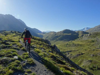
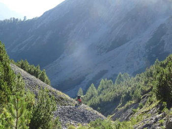
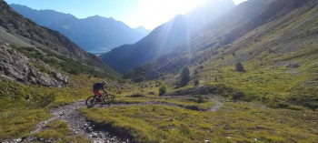
At Trela Pass we arrive in a short time but with enough effort given some steep ramps. Here starts the exploration for me and partner! At the Passo sign we go up on the left on an obvious path that climbs and some pedaling and some walking we reach a first fork that we leave out and continue to climb with beautiful views of the Trela valley and the Bernina. The trail soon narrows and bike by hand, or balanced in the saddle, with great care we pass a nice traverse on exposed scree. We arrive at the Bocchetta della Valle. Now, view Cancano Lakes in the background, we put on our protections and descend on a nice winding and very stony trail into this wild gorge, very nice and strenuous descent.
In short we are in Val Pettini and have to climb the steep ramps leading to the houses of Trela. To climb up to Black Lake, instead of going straight to Bocchetta Trelina, we make a wide loop going up into the gorge to our right, then descend into the Vezzola Plain and reach the said Bocchetta from the beautiful Val Vezzola trail. Some pedaling and some pushing.
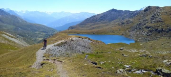
Arriving at our destination, Bocchetta Trelina, short refreshment and for about 1 1/2 hours the bike will be pushed and shouldered until we reach bucolic Lake Nero. Beautiful place at about 2500 meters altitude. We climb a little more and with beautiful lake and valley views eat our well-deserved sandwich. Rested we climb again briefly almost all by pedal to where we see our trail tending to descend.
NOTE: here if we wanted, we could climb up to the Black Lake Point by exposed meadows without a trail and then freeride down to the start of the actual descent, but we let it go for this time. A good reason to go back!
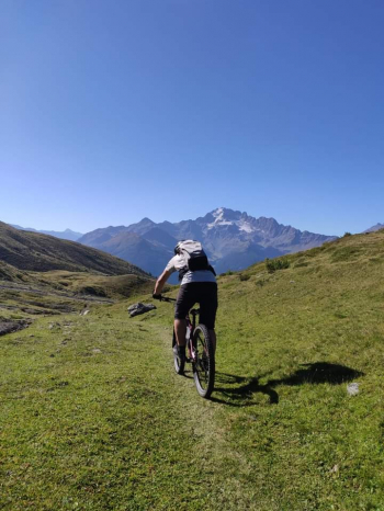
Simply fantastic descent from start to finish! The most beautiful in Livigno? For me. Upper part very technical where walkers will cheer for you! Middle part a little more flow but not too much and final part beautiful fast and exposed traverse to Foscagno. Now a long trail takes us back above Trepalle and then to cross the path taken at the beginning of the tour, again all very exciting. At the end of the descent, the one that comes down from Passo Trela, as we said we have to turn left and go up the ridge with a hard tear to stay on the high path, be careful exposed and with beautiful passages on rock, then it is the marbles track made at the beginning of the tour. In short we arrive on the Lake Livigno bike path and end an excellent adventure.


 Italiano
 Deutsch