Foreste casentinesi percorsi 14 (al contrario) e 16
The itinerary was born from the union of two routes proposed on the site of the Casentino Forests Park, the 14th (traveled, however, in reverse) and the 16th. From Corniolo you go up on a paved road to the Braccina pass, there you turn left passing a bar and taking the path of the Alpini that, with slopes even up to 18%, runs along the ridge. Towards the end of the climb there are some steps with quite steep gradients, if your form is not the best (or perhaps you have an e-bike), you will have to push them.
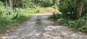
The following descent is on single track, the trail is a bit overgrown with grass and a bit dug out in places, but it can be done without problems. At the end of this section on trail (about 1 km) continue on forest road toward Fiumicello. At the end of the forest road a chain closes its access to cars, you pass quietly to the side but beware that the chain is barely visible, it is after a bend and the road invites some speed (see photo).
From Fiumicello proceed again for a short stretch on asphalt and take a forest road at the fork in the direction of pian di Rocchi (where there is a refuge if necessary). From there continue to climb passing another bar and initially going through some narrow hairpin bends with gradients that are often over 10 percent (this is the last serious climb, however). A stretch of ups and downs at the top of the flats and then begins the long descent, still on forestry, that ends about a km before Corniolo. The trail is mostly in the shade of the forest, a few sections a bit sunny (especially the part with hairpin bends in the last climb). Water can be found at a few springs along the way or in the villages and structures you come across. In total it is just over 40 km with about 1300 m of elevation gain, the elevation is between about 600 m at Corniolo and 1160 m at the highest point.
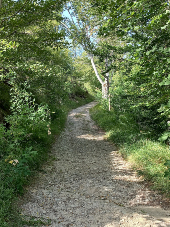
On the Alpini trail and the beginning of the descent:


Forests:


Chain on the road:


 Italiano
 Deutsch