Italiano
 Deutsch
Malga Meleit

The hike starts from the center of the town of Sutrio, where parking is readily available.
The first 3 km of the climb will be on a trail with some steep sections and a few stair-like sections. If you prefer, you can take the recently built unpaved forest road (just don’t turn right immediately after leaving the village).
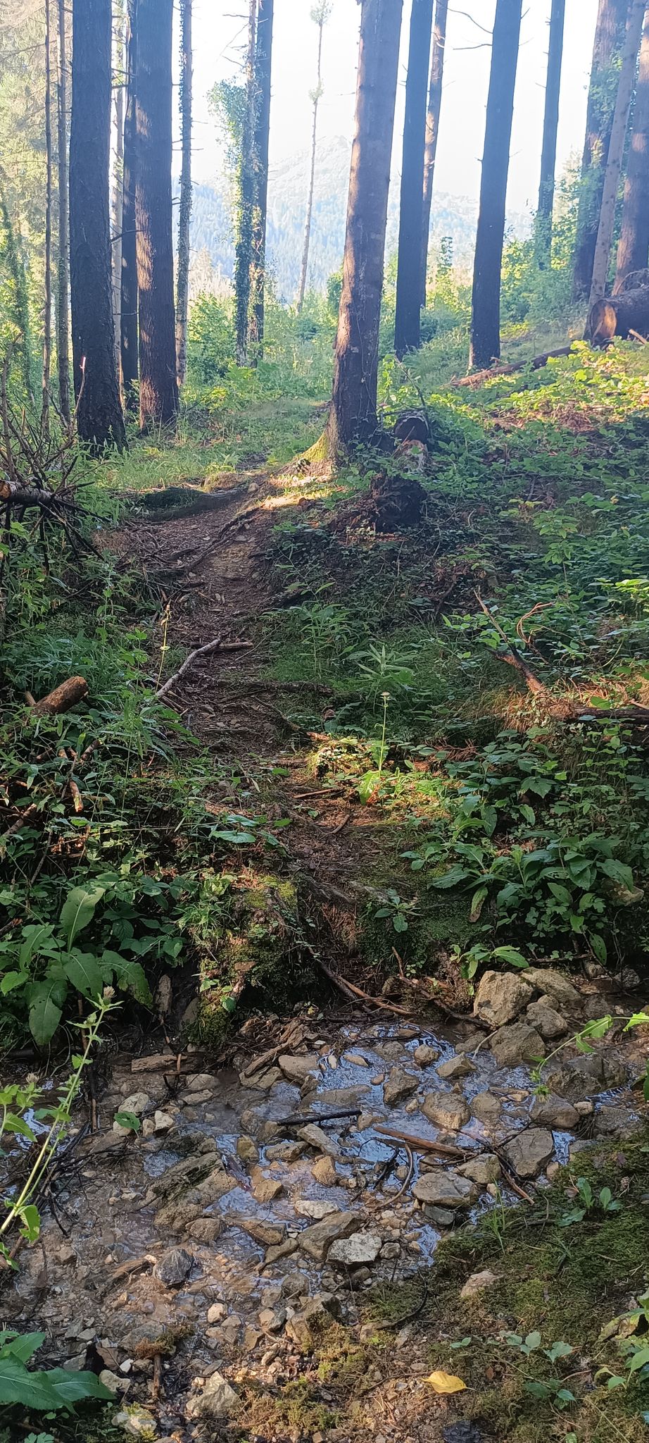
The route continues along a long, recently improved dirt road that, near Zoncolan, joins the paved road leading to the Cocul mountain hut.
Here, you can choose to hike up the ski slopes that begin near the water reservoirs used for artificial snowmaking, or reach the summit of Monte Zoncolan via a narrow paved road.
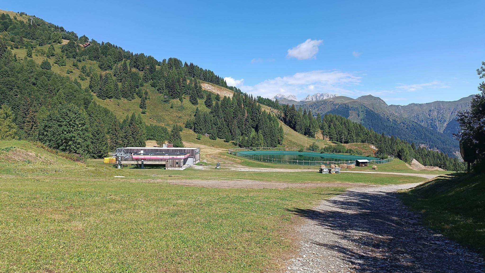
Now, a series of gently descending gravel roads will take you to Malga Tamai and then, in a couple of kilometers, to Malga Agareit di Sopra.

The tour of the mountain huts continues along a dirt road, alternating between a few short ascents and descents, passing Malga Meleit (km 12.8) and Malga Dauda, both places where you can stop for refreshments;

From here, the dirt road, with a long and winding descent, will take us back to our starting point.