San Lazzaro - Dolina della Spipola e Cammino di Sant'Antonio
The route starts from Cedars Park in San Lazzaro and from there, along the course of the Savena stream, it climbs to Ponticella.
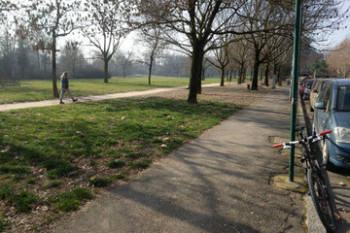
(stock photo-I still had the RR520).
From Ponticella starts the asphalt section that represents almost the entire ascent of the route. Reaching the Croara church on the street of the same name, we jump onto the little white road, little more than a path, that descends to the right. Continuing on, one ascends the ridge of the Spipola doline, and to one's right one can appreciate the panorama of Bologna from above. On clearer days with clear skies in the background the slopes of the Alps can be glimpsed. It seems impossible but the view crosses the entire plain.
Continuing on you come to a small clearing with a fountain and the path to take descends to the left. Continue to the chain that is for a few hundred meters. The options are many I usually go right here and pass by the Buco dei Vinchi, a cavity in the ground probably connected to the Spipola Cave below.

(I take film photographs that I develop at home, catch them too.)
Past Buco dei Vinchi the trail climbs for about ten meters and then forks. I take a left. To the right would proceed around a field and then climb back up to the Palestrina anyway. I was saying: I take a left after the Vinchi and as soon as the trail opens up coming out of the woods I go right going up to Le Candele, a chalk formation.
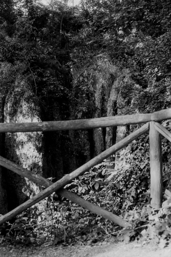
You continue and the trail skirts a field for a few hundred meters. At the end of this section you climb to the right on a somewhat uneven surface of dirt and chalk. 100, maybe 200 meters and you are at the Palestrina, a wall equipped for climbing.
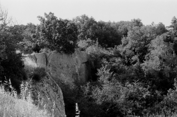
Note that you get to the Palestrina from above so don't look for it in front of you but below you. (It is all safe, there is a guardrail, do not end up below). When you reach the Palestrina, enjoy for a moment the views both towards Bologna and in the opposite direction:
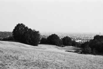
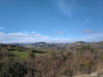
Well, you are at the top of the first section. Now descend behind the Palestrina by a narrow, somewhat winding and sometimes steep path. Nothing difficult, even for the inexperienced. When you reach the parking lot you return to the asphalt and close the loop around the Dolina della Spipola, i.e., go to the left going back to Via della Croara. At the end of the first climb a small path opens to your right and climbs into the woods. That is where you need to go. That is where you will find mud probably even on August 15. The path has no detours and ends in front of the Chiesina della Madonna dei Boschi. It proceeds on a fast and somewhat rocky descent. At the end a small drop and then back on the asphalt towards via della Croara.
Reaching via della Croara you climb right, short stretch on asphalt until you reach a small village. Past the few houses you drop left down a path that passes between fields. That stretch is a fraction of the St. Anthony's Path. I don't remember but it should also be so marked by a sign.
There is no mistaking from here on: the path has no more detours. You go down into the field, up into the woods and here starts the most technical and fun descent of the whole tour. Fast right-lefts, a few drops and the bike to be controlled on a narrow and sometimes rocky trail. Coming out of the woods you find yourself on Jussi Street near Farneto, descending back to San Lazzaro and then to the starting point.
Short ride, climbs almost exclusively on asphalt, descents all on dirt and trail, beautiful views. The trails around here are wasted and the tour can be varied, lengthened, complicated or even shortened and simplified according to one's needs and possibilities.
NB: as several signs around Spipola Dolina state, it is strongly advised not to go too far and too absent-mindedly off the trails: there are crevasses and openings in the ground into which you could fall and hurt yourself.


 Italiano
 Deutsch