Monte Pore – SENTIERO 643 e 441
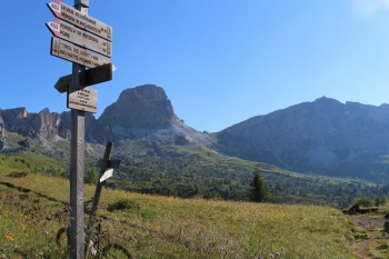
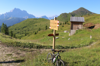
From Livinallongo across Colle Santa Lucia and about twenty hairpin bends of Passo Giau we reach Rifugio Fedare 2000 m. where trail 643 begins and in a little more than a km takes us to Col di Melei 2,142 m. with magnificent views to the southwest over M. Pore, to the west on Marmolada, Col di Lana and Piz Boè. The consistently perfect signage on both trails (only one unmarked fork above the castle-keep to the right, I left the drool on the trail) , has us turn onto grassy trail 441 north on falsopiano indicating initially 1 h 40 to Castello di Andraz and then 1 h 20.
North views of Averau and Nuvolau, south views of Civetta. Short ascent and easy descent begins on not steep and grassy slopes, mc /s1 and becomes just a little more technical in the section above Andraz Castle with slippery bottom and a little steep, never over bc+ and s2. From Andraz Castle follow trail almost to Cernadoi. Unfortunately the connection between road and Andraz is still closed by fallen trees and prevents return on Foram trail, instead trail 441 is completely clear. Brief historical notes: the Fursil iron mines were under M.Pore on the south slope towards Col S.Lucia and via della Vena connected to Castello di Andraz; it is being completed in the Cernadoi section. M. Pore and Col di Lana, above Colle S.lucia and above Pieve di Livinallongo, respectively, are two atypical non-rocky dolomite mountains, both of which are not cyclable because of their gradients (the foot race from Pieve to Col di Lana is a direct line).
Tabacco publisher no. 07 - Alta Badia - Arabba - Marmolada - Trail map (1:25,000)


 Italiano
 Deutsch