
 Italiano
 Deutsch
Montalbano 2 Giro dei singletrack
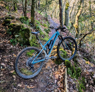
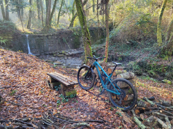
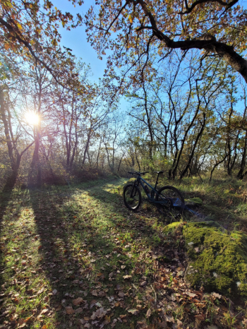
Here is the 2nd Montalbano route, this one dedicated to lovers of singletrack and technical climbing. You start from Quarrata, in a convenient parking lot with a drinking fountain (on Saturdays there is a market so if you arrive by car look for a different place to start your ride) and continue in the direction of Seano via asphalt on roads with little traffic until km 6.2 where you take a small road through the vineyards and then cross a small wooden bridge over the Furba stream to take the eponymous uphill trail, the first in a series of single tracks that after for 9km (and about 600d+) will have our quads burning.
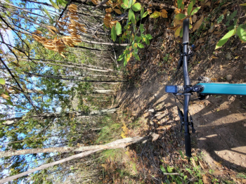
These are well-designed and maintained trails; those who enjoy pedaling will have as much fun as or more than on a downhill trail; it is not easy to find such trails... The Furba/Molino trail climbs initially with little incline into the woods crossing the creek several times on small wooden bridges, the incline increases with a series of switchbacks until you reach the paved road.
We turn left onto asphalt and after a few dozen meters take (on the right) the ''Source of the Gattice'' that climbs steeply with narrow hairpin bends.
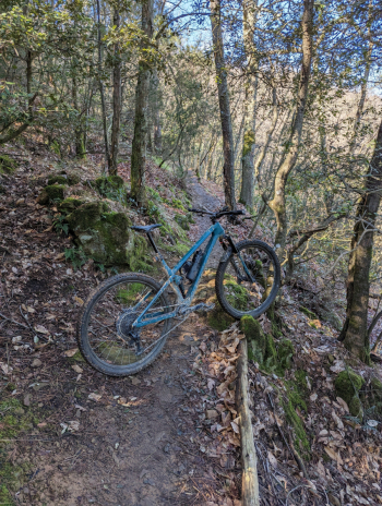
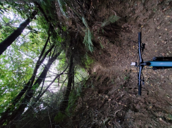
We face out of the woods for a few hundred meters taking a dirt road that leads us to the Pinone parking lot. From there we continue on the Pietramarina trail and to follow the Piagge del Lago that will take us to the summit of Montalbano, in the first part some technical passages will test the tired legs, the slope then decreases a bit and we enjoy pedaling on the narrow track halfway up ( but without dangerous exposed passages).
After a short stretch on the ridge dirt road we find the first downhill trails (The Domes) that we tackle in sectors 1-2-3-4 (marked at the beginning).
Trail with increasing difficulty (the toughest part is downstream and we don't face it on this tour) quite flowing, very fun with earthy bottom and a couple of steep sections (avoidable).
You then turn detra onto the dirt road that climbs back to the ridge. The wide road has hard passages with fixed rocks and high gradients but doable in the saddle, you return to the ridge and begin with ups and downs at times flowing at times very broken and challenging far from trivial to pedal without putting your foot down until you reach the asphalt road before Monte Fiore.
This part can be made much faster and smoother by staying always on the ridge roadway (sentero00) that rejoins the trail.
We climb briefly on asphalt, then take a left onto the trail that will take us to the very technical, varied and physically demanding Barcoreale trail. That goes from steep dug-outs with gullies and steps, tight turns, jumps (avoidable) until it becomes a toboggan with high banks and then switches to flow...
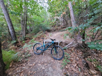
About 100 meters before entering the Barcoreale on the right you can follow the Mulinaccio trail (there is a sign), newer as construction with many jumps, a beautiful wooden wallride and a definitely challenging steep. The 2 trails rejoin in the middle and continue on the same trail. For lovers of the technical I recommend the Barco, for those but the ''exciting'' passages the Mulinaccio.
At this point you reach the asphalt, having reached the village Lucciano you can decide to return quickly to the starting point or follow the track that takes us first among the olive trees downhill and then to the woods of the Villa La Magia where to finally destroy the legs by following the route of the XC race of the quarratini districts. We then pass in front of the Villa (UNESCO World Heritage Site) and return to the starting point.
CAUTION: There are very few drinking fountains along the route and they are often closed or dry (even in cooler weather) so bring enough water for the ride.


