
 Italiano
 Deutsch
Montalbano 1 - Downcountry/Trail
This is the first in a series of routes dedicated to Montalbano, all starting from Quarrata but almost all easily adaptable also for those coming from the Vinci/Empoli side. In this case the route is called ''Downcountry/trail'' because it is particularly suitable for this kind of bike, smooth climbs and fun trails without extreme difficulty.
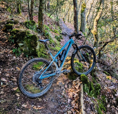
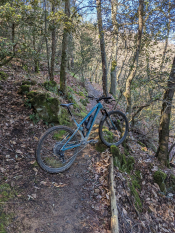
The descents are on trails that, although they have been used on several occasions as TES (Toscano Enduro Series) PSs, are flowing and with avoidable jumps/drops.
You start from the center of Quarrata, there is a convenient parking lot with drinking fountain (Saturday morning is market place so if you arrive by car need to find an alternative start). We start immediately with a challenging climb initially paved which then becomes a dirt driveway that takes us to the summit of Montalbano (just under 600 meters of positive elevation gain) from the ridge we take the path ''Vitruvian'' of which we only cover the first part and then return to the main street (if you want you can continue the trail further until it crosses again a driveway that turns left and brings us back on the path after a few uphill climbs).
After a short climb you arrive feelo ''The Fortress'' very smooth with limited gradients very driven and all to relaunch. Leaving the trail we take the paved road uphill to get to lla start of the Etrusco, another fun and fast trail.

A dirt road takes us back to the resort ''Pinone'' where there is a bar/restaurant and a drinking fountain. Many bikers arriving from outside use the 2 on-site parking lots as a starting base to visit the trails in this area saving themselves some elevation gain (with a ''tracked endurona'' it is probably the best choice). At this point you take a beautiful uphill trail (the ''Pietramarina'') that requires leg and some technique but pays off with great fun (alternatively you can climb via asphalt) returning to the starting point of Fortezza and Etrusco.
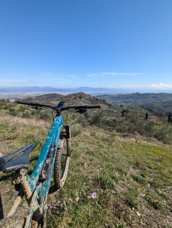
You continue on a similar trail (Piagge del Lago) refurbished in February 2023 that leads almost to the summit of Montalbano, After following the ridge for a short distance you take one of the historic trails in the area (Le Cupole) of which you follow section 1 and 2. You climb back up to the ridge one last time and then descend on the north slope following a very fast track cut by water drains that can be used as ramps for those who still want to have fun. At a certain point a beautiful panorama opens up with views of the plain from Pistoia to Florence.
We then continue through olive groves and thickets via dirt road until we return to the plain and reach the starting point.


