2023/03/07 22:10:26
Passo Silvella
Author
Place
Italy - Trentino-Alto Adige/Südtirol, BZ
Km
44,46 km
Elapsed time
04:48:46
Vertical meters
+1 400 mt (1138 - 2325)
Route difficulty
Landscapes
Last update
2023/03/09 09:25:09
Comments
Description
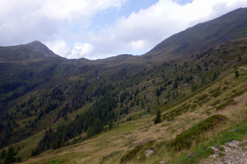
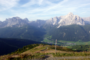
Rather long and physically demanding route, though not very technical. Beautiful views.

From Moso you go up along the valley to the Montecroce pass. You descend on forestry and road to Sega Digon, the lowest point of the itinerary, now you have to go up the long but beautiful valley, with steeper and bumpier finish, to Silvella pass.

Descend to Malga Nemes, then to Montecroce Pass and the parking lot.

Local weather

°C

°C

°C

°C

°C

°C
Graph
Nearest Routes
17,34 km
Km
+1 000 mt
Vertical meters
Route difficulty
Landscapes
22,50 km
Km
+850 mt
Vertical meters
Route difficulty
Landscapes
2022/09/17
- Italy - Trentino-Alto Adige/Südtirol, BZ 41,63 km
Km
+1 879 mt
Vertical meters
Route difficulty
Landscapes
30,41 km
Km
+1 000 mt
Vertical meters
Route difficulty
Landscapes
2023/02/26
- Italy - Trentino-Alto Adige/Südtirol, BZ 24,89 km
Km
+790 mt
Vertical meters
Route difficulty
Landscapes
2023/03/06
- Italy - Trentino-Alto Adige/Südtirol, BZ 29,85 km
Km
+1 700 mt
Vertical meters
Route difficulty
Landscapes
30,63 km
Km
+1 400 mt
Vertical meters
Route difficulty
Landscapes
135,06 km
Km
+3 800 mt
Vertical meters
Route difficulty
Landscapes
47,62 km
Km
+1 550 mt
Vertical meters
Route difficulty
Landscapes
43,07 km
Km
+1 550 mt
Vertical meters
Route difficulty
Landscapes


 Italiano
 Deutsch