2023/03/05 22:20:18
Cornetto di confine e sentiero 1
Author
Place
Italy - Trentino-Alto Adige/Südtirol, BZ
Km
34,64 km
Elapsed time
04:11:59
Vertical meters
+1 320 mt (1183 - 2555)
Route difficulty
Landscapes
Last update
2023/03/06 08:41:12
Comments
Description
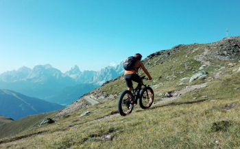
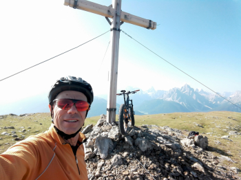
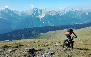
The ascent to the Cornetto di Confine is always challenging, but it is always worth it, both for the forrmidable view from the top and for the various paths one can choose for the descent.

This time we choose the direct trail, which cuts through the switchbacks and starts from the top of Church Mountain.

Very challenging because of the slope and loose rocks, but with good technique and a proper bike the fun is great. When we get to the lay-by, we take an unmarked path to the forestry trail that goes down the left side of the brook to the bottom of the valley.

Local weather
Today

20 °C
Tonight

7 °C
Tomorrow

19 °C
Tomorrow night

6 °C
Sunday

18 °C
Sunday night

7 °C
Graph
Nearest Routes
2023/03/05
- Italy - Trentino-Alto Adige/Südtirol, BZ 46,65 km
Km
+450 mt
Vertical meters
Route difficulty
Landscapes
33,21 km
Km
+750 mt
Vertical meters
Route difficulty
Landscapes
48,18 km
Km
+1 684 mt
Vertical meters
Route difficulty
Landscapes
48,18 km
Km
+1 500 mt
Vertical meters
Route difficulty
Landscapes
2023/02/26
- Italy - Trentino-Alto Adige/Südtirol, BZ 34,09 km
Km
+1 420 mt
Vertical meters
Route difficulty
Landscapes
28,95 km
Km
+1 110 mt
Vertical meters
Route difficulty
Landscapes
22,60 km
Km
+1 100 mt
Vertical meters
Route difficulty
Landscapes
55,01 km
Km
+1 450 mt
Vertical meters
Route difficulty
Landscapes
20,17 km
Km
+1 136 mt
Vertical meters
Route difficulty
Landscapes
28,41 km
Km
+510 mt
Vertical meters
Route difficulty
Landscapes


 Italiano
 Deutsch