Tigullio All mountain
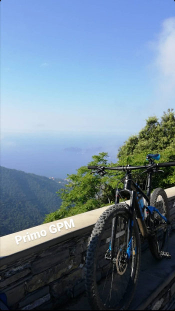
Itinerary that crosses the entire Tigullio. Start from Chiavari and follow the Aurelia road to Rapallo, from here climb by asphalt road to Montallegro via San Maurizio di Monti. Directions to the sanctuary of Montallegro are present and easily followed. Arriving from the sanctuary we reached the first GPM of the day, photo obligatory.

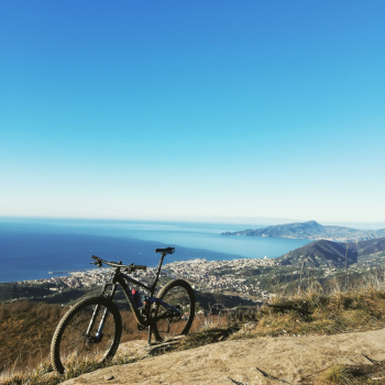
You take the path leading towards the colletta, at the only fork you have to take a left, after that the path narrows and has some technical parts. When you get to the colletta you descend to the left and on the asphalt climb to the right. In front of the Galletto restaurant a very fast path starts on the left that takes us to San Lorenzo, we descend on asphalt to the Bocco and then take a left always on asphalt. After the Church of San Rufino we take a left on asphalt uphill, past the saddle we take a right on the dirt road downhill that later becomes a path. At the fork we continue downhill to the right and then have a choice of three trails to descend, ABBRACCIALBERI, ABBRACCIALBERI 2 and MULA, they all connect at the bottom. When we reach the slate bike path we take to the right and then left over the bridge, entering the town of Carasco. At the fork we take a left and still on asphalt we arrive in San Salvatore, where the second climb of the day begins. We follow the signs for Breccanecca and then for Monte San Giacomo, arrive at the square and take the steep asphalt road on the right uphill. Next we take the path on the right that runs alongside the old slate quarries, we keep following it and the view opens up, second GPM.

From here the trail is all ups and downs to Monte Capenardo, from where the descent on trail starts and takes us to Selva, where we can choose among several alternatives to descend to Sestri. This trail follows a classic Toboga + Sant'Anna. Once in Sestri we can return to Chiavari via Aurelia.
Pay attention to the water supplies, there is a drinking fountain in Montallegro on the left of the staircase, another from Bocco di Leivi also on the left, while once we start the last climb there are no more drinking fountains until Sestri.


 Italiano
 Deutsch