

 Italiano
 Deutsch
2023/03/02 18:13:10
Malga Fartleis e malga Pfandler
Author

Place
Italy - Trentino-Alto Adige/Südtirol, BZ
Km
51,00 km
Elapsed time
05:10:59
Vertical meters
+1 610 mt (310 - 1650)
Route difficulty
Landscapes
Last update
2023/03/02 23:05:42
Comments
Description
Very challenging but also rewarding route, for lovers of technical trails and for those who are not afraid to push the bike for a few tens of minutes. By e-bike, however, the tour is completely pedaled.
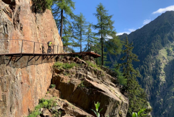
You arrive in San Martino and climb up the secondary and forest road to the Fartleis hut (refreshment). From here begins a trail with very steep sections to a vantage point on the rock. Then descend to the Pfandler hut with excellent refreshment.
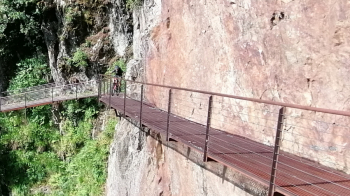
Descent down to the valley on a rather challenging and stony path (or on the forest road). Then back to Merano again on paths with many ups and downs.
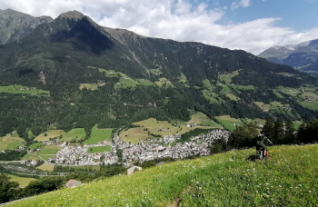
Local weather
Tue 00:00

15 °C
Tue 12:00

17 °C
Wed 00:00

15 °C
Wed 12:00
14 °C
Thu 00:00

13 °C
Thu 12:00

15 °C

Graph
Nearest Routes
76,06 km
Km
+2 300 mt
Vertical meters
Route difficulty
Landscapes
2025/11/21
- Italy - Trentino-Alto Adige/Südtirol, BZ 61,34 km
Km
+2 317 mt
Vertical meters
Route difficulty
Landscapes
61,04 km
Km
+2 300 mt
Vertical meters
Route difficulty
Landscapes
65,78 km
Km
+2 336 mt
Vertical meters
Route difficulty
Landscapes
74,92 km
Km
+2 500 mt
Vertical meters
Route difficulty
Landscapes

35,55 km
Km
+1 500 mt
Vertical meters
Route difficulty
Landscapes
41,95 km
Km
+1 783 mt
Vertical meters
Route difficulty
Landscapes
61,08 km
Km
+2 334 mt
Vertical meters
Route difficulty
Landscapes
61,08 km
Km
+2 334 mt
Vertical meters
Route difficulty
Landscapes
31,25 km
Km
+1 100 mt
Vertical meters
Route difficulty
Landscapes