
 Italiano
 Deutsch
2023/02/28 16:46:14
BISIGNANO - CUPONE (LAGO CECITA)
Author
Place
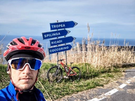
Italy - Calabria, CS
Km
44,22 km
Elapsed time
01:14:06
Vertical meters
+1 880 mt (189 - 1267)
Route difficulty
Landscapes
Last update
2023/02/28 19:28:27
Comments
Description
Itinerary starting in Bisignano, an ancient city and bishopric where the important Shrine of St. Humble is located. It climbs for about 10 km up to Timpone della Morte along the SS660, then descends slightly in the direction of the town of Acri, town of the Basilica of the Holy Angel of Acre. From here the route crosses Conca delle Noci and ascends to an altitude of 1262 m near the Melis Quarry, where some of the highest vineyards in Europe are cultivated, and then reaches Lake Cecita at an altitude of 1143 m where the Cupone Visitor and Environmental Education Center is located. The route is part of the Natural Parks of Calabria cycle route.
Local weather
Oggi

30 °C
Stasera

22 °C
Domani
31 °C
Domani sera
20 °C
domenica

31 °C
Domenica notte

20 °C


Graph
Nearest Routes
47,34 km
Km
+1 300 mt
Vertical meters
Route difficulty
Landscapes
124,87 km
Km
+1 000 mt
Vertical meters
Route difficulty
Landscapes
49,67 km
Km
+980 mt
Vertical meters
Route difficulty
Landscapes
33,92 km
Km
+950 mt
Vertical meters
Route difficulty
Landscapes
39,14 km
Km
+230 mt
Vertical meters
Route difficulty
Landscapes
27,89 km
Km
+800 mt
Vertical meters
Route difficulty
Landscapes
53,80 km
Km
+800 mt
Vertical meters
Route difficulty
Landscapes
41,24 km
Km
+1 480 mt
Vertical meters
Route difficulty
Landscapes
34,38 km
Km
+1 230 mt
Vertical meters
Route difficulty
Landscapes
38,81 km
Km
+950 mt
Vertical meters
Route difficulty
Landscapes