Italiano
 Deutsch
Forcella Ambrizzola - 5 Torri

For this hike, we used two cars to shorten the elevation gain. We left the first car at Località Pian, near Selva di Cadore. With the second car, we drove to the hairpin turn where the dirt road to the Città di Fiume Mountain Hut begins. Please note: parking in the large clearing is still prohibited following the landslide that occurred there years ago. You can leave your car in the adjacent parking spots.
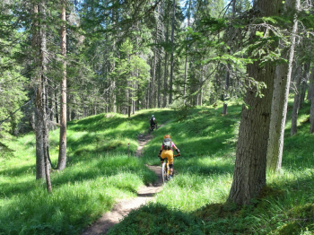
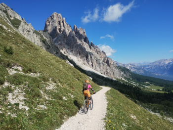
The climb up to the Città di Fiume Mountain Hut is shaded and pleasant, with manageable gradients and beautiful views of the Civetta and Pelmo ranges. Beyond the hut, the terrain changes, alternating between flat sections and very steep stretches. We reach Malga Prendera, where the dirt road ends and a section begins where you’ll have to carry your bike to the Col Duro pass. There are very beautiful views of Mondeval, Croda da Lago, and Bec di Mezzodì.
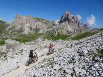
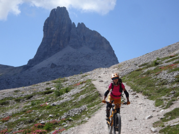
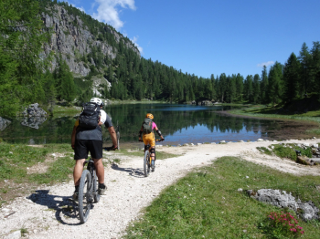
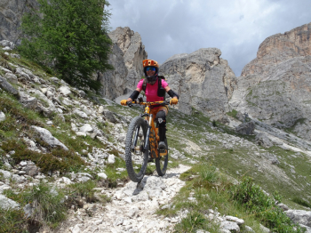
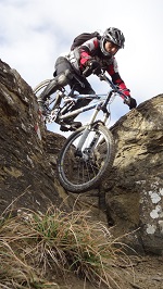
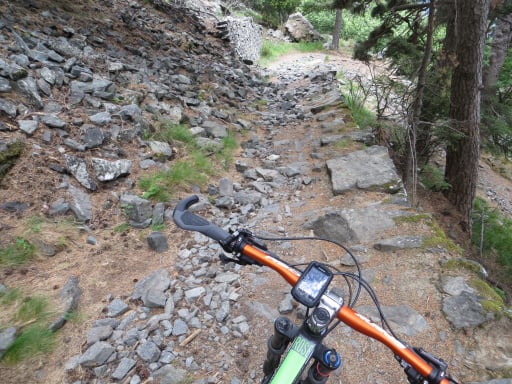
From the Col Duro Pass, there’s a nice traverse to the Ambrizzola Pass, where, on an S1/S2 trail, we reach Lake Federa and the Croda da Lago mountain hut. We leave the lake behind and take a trail to the right that initially descends gently before becoming very technical (S3/S4). The trail becomes more manageable in its final section, leading to a small hut (Peziè de Parù) with a lovely spring. We take the dirt road to the left, which leads us onto the paved road toward Passo Giau. We follow this road for a stretch until we come to yet another dirt road on the right that connects us to the other paved road leading to the Falzarego Pass, which we leave at a hairpin turn near the ski lifts.
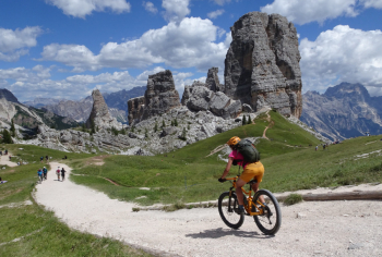
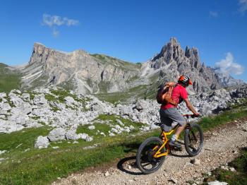
We opt for the 5 Torri chairlift because the weather is getting worse, but if you’re feeling energetic and up for it, you can avoid the lifts by pushing your bike uphill. The chairlift ends near the Scoiattoli mountain hut, where the view of the 5 Torri is breathtaking. Now, with one last effort, we must reach the Averau mountain hut above, pushing our bikes for the final stretch.
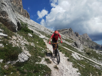
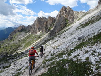
We initially descend along the ski run for a few dozen meters, with a view of what remains of the Marmolada glacier, until we reach the beautiful traverse on the right that passes beneath the Nuvolau and the Croda Nera (alpine trail S2/S3). Once the rocky section ends, the trail winds through pastures among small wooden huts (S2), until it joins an easy mule trail that leads us to the Fedare Mountain Hut. We reach the paved road, and just beyond the guardrail, the Triol de Siori begins—an easy trail through dirt and meadows (S2).
After a short stretch of paved road, we end up on a dirt road where, at the beginning, there are still “no entry” signs because it was destroyed by Storm Vaia (ignore the signs—the dirt road is in excellent condition!). The loop ends at Pian, where we had left the first car. Be mindful of the large number of hikers and tourists, especially in the area around Forcella Ambrizzola and the 5 Torri with its mountain huts.
For more information, see the photo report. The total elevation gain is 1,970 meters (370 meters of which are covered by the chairlift, leaving 1,600 meters to be cycled).