
 Italiano
 Deutsch
Giro All Mountain Bonassola-Levanto

Trail route around Bonassola/Levanto; the starting point doesn’t matter, but it’s easier to find parking in Levanto, even during peak season.
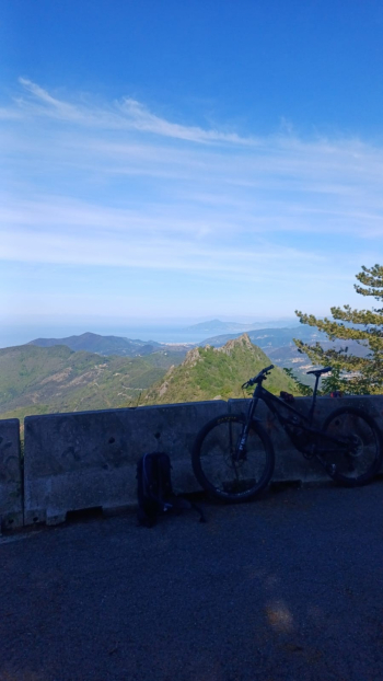
The route starts with an uphill climb on asphalt toward the Guaitarola Pass; the gradient is steady and the ride is smooth. After the pass, on the right, there is a fountain where cyclists can fill their water bottles. Continue riding until you reach the Bracco road; here, turn left and after a few hundred meters, turn right toward San Nicolao, still on asphalt, but the gradient increases significantly. Once at the top, the effort is rewarded by the view of Mount Portofino and a beautiful stretch of the Ligurian coast, weather permitting.
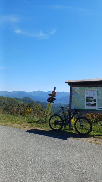
Here you can choose between two trails for the descent, both starting just before the summit. This route follows the RAI CORTA trail, which has recently been refurbished, and features some great jumps for enthusiasts of the genre. Once back on the paved road, head back toward Levanto along the same route taken on the way up. Shortly after the Guaitarola Pass, take the left path leading to the start of Trail 28/19, which has also been recently maintained. About halfway along the trail, turn left and follow the sign for the Alta Via delle 5 Terre toward Foce di Dosso and then Passo Bardellone, where the view of the Val di Vara mountains is truly worth it.
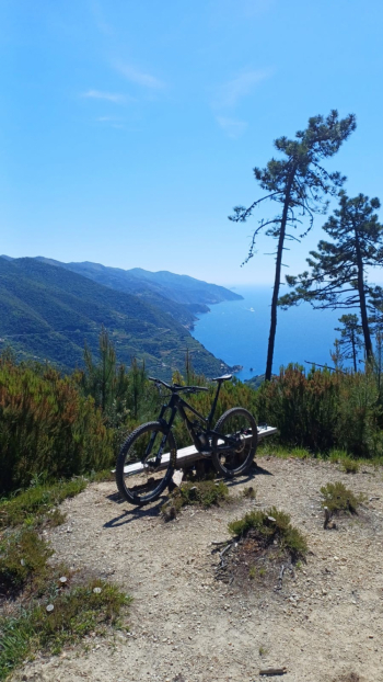
Continue on the paved road until you reach the entrance to the Crocettola trail on the right, a very beautiful trail that ends at Passo del Termine, where the Cinque Terre officially begin—in fact, it lies on the border between Levanto and Monterosso. Here, take the slightly hidden path that starts from the restaurant’s parking lot; with some ups and downs and a few portage sections, it leads you to Cima Rossini, where the view takes in the 5 Terre and you can catch a glimpse of Tinetto Island in the distance.
This is where the beautiful trail begins that leads us to the castle of Levanto and ends right in the town center, where you can return to Bonassola via the bike path or by train.
Choose the time of year for this route carefully; the summer months are best avoided, both because of the heat and, above all, the crowds on the trails, particularly on the descent from Cima Rossini.


