Italiano
 Deutsch
Rifugio Allavena, sentieri superblu e 132, ciclovia Val Nervia

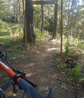
This is an all downhill trail, about 1,600 meters of elevation gain, from the Melosa pass to the sea. From the Allavena refuge we take a grassy avenue that after a few hundred meters leads to a first fork, we keep right to take the super blue trail, it is 2 km in the woods with flowing sections, some tight hairpin bends, we arrive at the Tenarda dam.
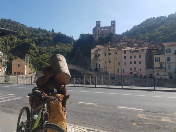
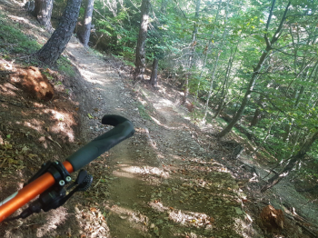
We continue on dirt road downhill until we take path 132, according to some locals difficult and exposed. Actually being all in the woods there is nothing exposed, the short sections are rock jumps or wet rock traverses over some water rivulets. The rest is all flow and S2 difficulty, 4 km without forks of well-tracked, mostly compact terrain with some roots and a few stones; there are also a few short, steep climbs. Arriving in Buggio there are still 700 meters of negative elevation gain left, you descend on asphalt to Dolceacqua and then via Val Nervia cycleway to Camporosso and to Ventimiglia.
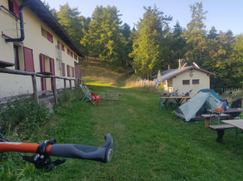
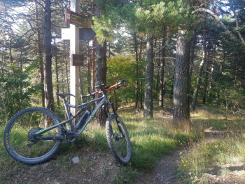
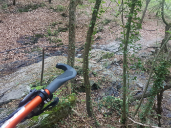
Start of the trail behind the Allavena Refuge.
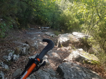
Hairpin bends on compact trail
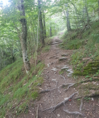
Beginning of trail 132
Descent with roots
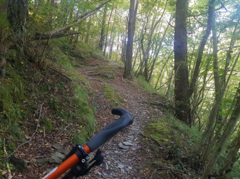
Subsequent stony descent
Short push uphill
Traverse on wet stones
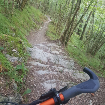
Stony section
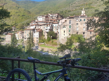
Buggio, hamlet of Pigna
Dolceacqua