Italiano
 Deutsch
Sežana che freddo! Sežana che caldo!

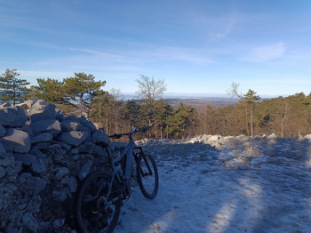
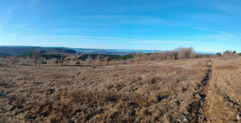
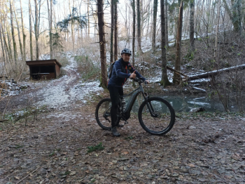
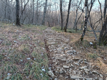
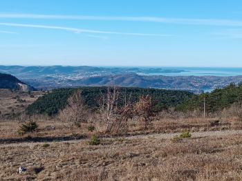
The start is in the center of Basovizza, on the Trieste Karst, in an area where parking is easy to find. After some light gravel, we take the Brucomela single track, a fast and fun trail, firm bottom without any technical or altimetric difficulties. We continue starting the ascent to Mount Cucusso (672 meters) and from there we can go to visit the nearby Bronze Age burial mounds from which we can enjoy a panoramic view of the Karst and the Gulf of Trieste. The descent to Grozzana takes place on the Wild Prasec: a beautiful downhill track, flowing at times, with a typically Karst stony bottom with protruding spikes. At times not easy but fun and rideable thanks to its many ups and downs.
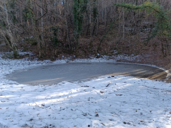
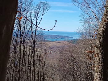
We start climbing again towards the Grozzana pond and, after observing this natural wonder, we descend again along a forest road with a well-maintained and fairly busy bottom, to then begin yet another climb, this time tough, towards the top of Veliko Gradisce (Castellaro), at an altitude of 750 meters. From there the not-so-easy descent to Izvir Vroce, a charming little lake with an adjoining picnic area where to recover from the exertions of Veliko Gradisce. We resume our descent to Lokev but immediately turn to begin a new climb to the Kokos hut: here a very strenuous climb awaits us on a steep, rocky path with several steps, crashed trees and slimy sections.
As soon as we arrive the view will reward us for the effort (elevation 710 meters), then we will also have a chance to rest at the hut. The next steep descent will take us to the road to Lipizza and then we will take yet another single track in the middle of the woods, short fast section very charming, not challenging bottom, beautiful dry stone walls marking the path. Too bad it ends right away! We immediately turn right and aim for Gropada, finding a centuries-old oak (Napoleon's oak) and with a series of ups and downs we visit a lot of karst ponds. From Trebiciano we will then follow a dirt road that between karst walls will take us back to our starting point.
 ?
?