
 Italiano
 Deutsch
Pasubio con Monte Testo e Bocchetta dei Foxi

Epic itinerary on Pasubio. Departure from B&B Arlach 8, highly recommended in case you want to spend a few days in these very peaceful yet spectacular places. Otherwise you can start directly from Anghebeni, saving you 80 meters of elevation gain. You travel 13 km and 600 meters of elevation gain on asphalt to get to Pian delle Fugazze, where the Strada degli Eroi (Heroes' Road) starts, leading us slowly out of the woods to the spectacular tunnels carved into the rock.
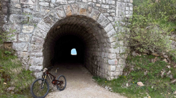
Through the tunnel in the photo above we change sides, from north to south, and often the weather changes as well, because on the other side there is all the humidity of the Po Valley waiting for us.
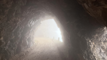
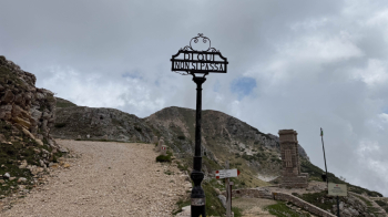
The fog makes the place even more interesting, in fact we pass several signs explaining how the road was built and why. In the silence and fog, pedaling through this place becomes a unique experience.
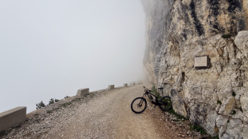
Thus you arrive below the Rifugio Papa, from the last hairpin bends you can see the road made.
I recommend a restorative break at Rifugio Papa because the ride is still long, and there is no water along the way. The hustle and bustle of the refuge disappears just around the first bend once we head toward the 7 crosses.
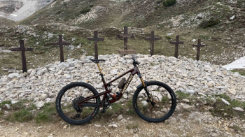
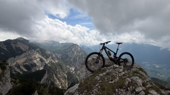
From the 7 crosses we get to the trail that we will now follow to the end of the loop. At first it is necessary to push the bike in several sections because it is all up and down in the middle of what was once the main Pasubio battlefield. You can clearly make out the many craters caused by artillery, as well as the myriad caves dug into the rock for protection.
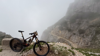
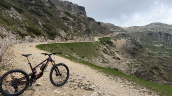
Once the pushing part is over, comes the enjoyment: several very long traverses, all rideable, until we reach Bocchetta delle Corde.
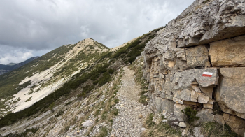
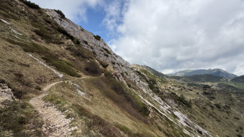
Here we have two alternatives to get to Bocchetta dei Foxi: go around Mount Testo to the east as described here, or to the west. The eastern variant is exposed, while the west is a pleasant change from the boulders in this area: an all-pedal uphill trail takes us just below Mt. Testo. The trail makes a point of a spire where I took this photo:
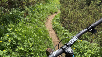
Retracing our steps, a descent on a dirt surface begins, extremely smooth and fun.
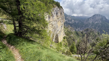
We thus arrive at the Foxi vent, where the long descent to the starting point begins: the trail has a moderate gradient and lots of switchbacks almost all of which are doable without nosepress. The first ones are full of boulders that make it difficult to pass, as you descend and thus enter the woods the trail becomes easy and also a bit boring. Spectacular is the first piece under the rock wall.
Thus we come out on a forest road that takes us back to Anghebeni with 300 meters of full descent.


