Italiano
 Deutsch
Loiano: Pineta e non solo!

The tour begins on the Fondovalle Savena, at the intersection with Via Longagne. From here you proceed on asphalt toward the south for a few hundred meters until you glimpse the former restaurant "I Mulini" on the left. Here you turn left and cross the small village to reach a dirt road that passes upstream from it. You then proceed uphill until you cross SP59. You cross it, entering Via CÃ di Stefano. You then continue on a mixture of dirt road and meadow until you reach the Church of Bibulano.
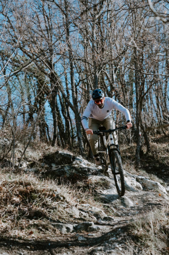
Here you turn left and enter SP59 again on asphalt, traveling uphill for about a kilometer. You turn left again, entering the quaint village of Bibulano di Sopra. You then turn right onto the CAI 925 trail. The trail winds its way uphill, through fields, even with a couple of rather challenging tears, until first reaching the SS65 della Futa and immediately after Loiano. It transits Via Roma and crosses the town center. As soon as you come out, just before thehospital, you turn left into Via Luigi Pozzi. A final uphill effort then allows us to arrive at the "Sassoni," the point from which the Pineta single tracks , maintained by Bologna Montana Bike Area, begin.
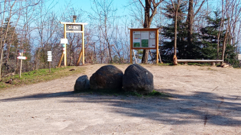
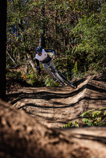
Which descent to make? Well, you are spoiled for choice and the combinations are countless given moreover the possibility of joining the upper part of some trails with the lower part of others. At the Saxons you will still find the bulletin board with all the trails and their detailed characteristics (for more information on the trails and their walkability you should consult the website www.bolognamontanabikearea.it and the social channels of Bologna Montana Bike Area). For the trail of the itinerary we opted for the single track "Glen" ( intermediate difficulty), which, although not trivial, turns out to be the most affordable descent, ideal to start the experience with the Pineta trails.
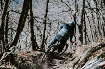
All descents lead to the same point, at the bottom of the Pine Forest, from which it is possible to reach the locality Sabbioni in a short time. From here you can choose to go back up to Loiano, going up along the Via Napoleonica or along the SS65 della Futa, and then take more descents on single track (consider 250/300 m of ascent each time), or continue the tour as follows.
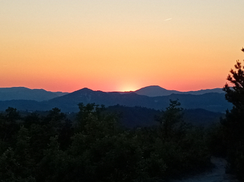
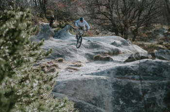
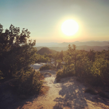
From Sabbioni you ride along the SS65 towards Bologna for a few hundred meters, leaving it to take Via Belvedere to the left. You then pedal until you reach the wide meadow of Passo del Dado. Reaching the top of the clearing, the single track "Dado" ( intermediate difficulty) begins, descending with beautiful views of the Savena Valley and the Apennines. Going through some suggestive passages on rock, you reach the locality Anconella.
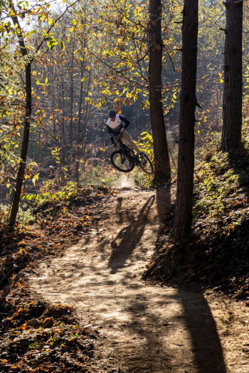
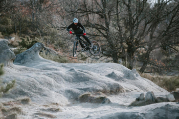
From here you return to Sabbioni on a paved but not excessively busy road. Continue again on the SS65 towards Loiano, until you reach the locità S . Antonio, about one kilometer after Sabbioni. Past a group of more or less recently built cottages, called Villaggio Rita, the asphalt again gives way to the dirt road and the single track called precisely"Rita" ( intermediate difficulty). These immediately transits into a beautiful moonscape, where there are some very characteristic rock formations. A stop to enjoy the place and the view is mandatory.
After descending some slightly technical sections, we then continue on a fast ridge dirt road, which we leave to enter on a path in a beautiful forest of holm oaks and chestnut trees. One last ford on the Rio della Selva and we soon arrive at the Fondovalle Savena, at the point where we started the tour.
Route NOT tabbed with appropriate signage. Refer to the gpx track.