Italiano
 Deutsch
I due comprensori

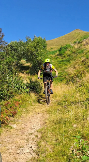
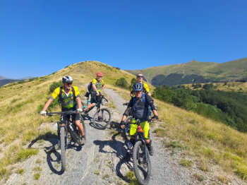
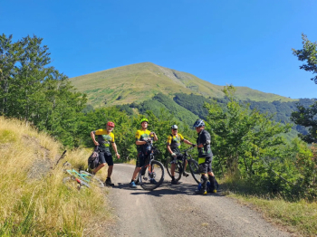
We start from the square of Vidiciatico and follow the asphalt road that leads to Monte Pizzo; when we arrive at the barrier, we keep to the right and cross the meadows of Budiara, following the forest road (CAI 127) from first, which is reduced to a path with a stretch to be covered on foot as it is too inpenging to pedal. Once the path is finished, we return to a forest road that, passing by the Saltiolo Pass (1329 meters), takes us to Madonna dell'acero (CAI 323). From here we take the provincial road to Lake Cavone; continuing on the paved road we reach the beginning of the forest road (CAI 329) that, leaving the tree line, takes us to Lake Scaffaiolo (1787 meters). Continuing on the ridge trail (CAI 00) we intercept after a short time on the left the trail that leads to Lizzano Pistoiese passing through Spignana (CAI ). From here, taking first provincial road 18 then state road 12, you arrive in Cutigliano.
Using the cable car go up to Doganaccia (1547 meters); from here take the forest road that leads up to the p.sso della Croce Arcana (1669 meters) then, taking the ridge trail (CAI 00) return to Lake Scaffaiolo. Now begins the descent to return by first taking CAI 401 then CAI 333 path that takes us back to Madonna dell'Acero. From here we take the asphalt road and, having passed in the parking lot of the visitor center of Pian d'Ivo, we intercept the path of the Madonnine (CAI 331) that takes us to Cà Berna. From here we resume the paved road to Vidiciatico.