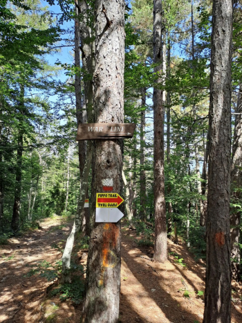
HOME RANKINGS CHALLENGES ROUTES NEAR ME PLANNING SEARCH LOGIN
Italy - Emilia-Romagna, BO
2025/01/25 20:31:21

War Line

1 Downloads
1
 
Share
Place
Italy - Emilia-Romagna, BO
Km
50,11 km
Elapsed time
07:01:45
Vertical meters
+2 010 mt (508 - 1829)
Route difficulty
Landscapes
Last update
2025/01/25 22:38:45
Comments
0
Description

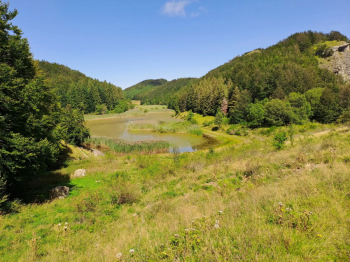
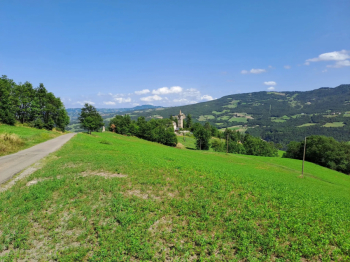
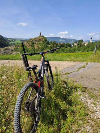
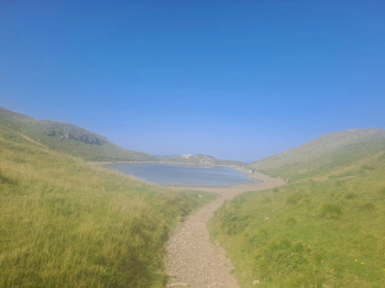
The GPS starts from Lizzano in Belvedere, but the tour can be made to start from Vidiciatico, thus saving a few kilometers and a couple of hundred meters in elevation gain. You climb from Mount Pizzo and pass through the Saltiolo Pass by taking the forest road to Madonna dell'Acero, thus avoiding the provincial road. From here you climb up to Lake Cavone where you take the mule track that passes the Le Malghe refuge and arrives at Lake Scaffaiolo. You then take the ridge trail to Croce Arcana, descend to Capanno Tassoni and continue to Lake Pratignano via Passo della Riva. From here you take the trail that gives the itinerary its name, the WAR LINE, a trail designed and created by one of the most famous trail builders namely the legendary Pippo Marani. You then reach Trignano and, passing by the Piastra Mill, you arrive at Rocca Corneta from which, following the asphalt road you return to the starting point.

This is definitely a challenging tour that, however, puts together fantastic views, adrenaline-pumping trails and also a bit of recent history of our territory.


Download our free mobile app to send this route to your Garmin device or to navigate it on OSM maps. Android - iOS
Local weather
°C
°C
°C
°C
°C
°C
°C
°C
°C
°C

Graph

Nearest Routes

2025/01/26
- Italy - Emilia-Romagna, BO
55,02 km
Km
+2 580 mt
Vertical meters
Route difficulty
Landscapes
31,29 km
Km
+1 410 mt
Vertical meters
Route difficulty
Landscapes
2025/01/27
- Italy - Emilia-Romagna, BO
52,92 km
Km
+2 100 mt
Vertical meters
Route difficulty
Landscapes
2023/07/10
- Italy - Emilia-Romagna, BO
ebsat
(111)
36,13 km
Km
+1 570 mt
Vertical meters
Route difficulty
Landscapes
2025/01/25
- Italy - Emilia-Romagna, BO
32,32 km
Km
+1 350 mt
Vertical meters
Route difficulty
Landscapes
32,32 km
Km
+1 340 mt
Vertical meters
Route difficulty
Landscapes
2024/06/09
- Italy - Emilia-Romagna, BO
Paoloc1
(69)
30,53 km
Km
+1 700 mt
Vertical meters
Route difficulty
Landscapes
2025/01/27
- Italy - Emilia-Romagna, BO
31,61 km
Km
+1 850 mt
Vertical meters
Route difficulty
Landscapes
2023/12/31
- Italy - Emilia-Romagna, BO
40,15 km
Km
+1 370 mt
Vertical meters
Route difficulty
Landscapes
2023/01/17
- Italy - Emilia-Romagna, BO
ebsat
(111)
27,55 km
Km
+2 207 mt
Vertical meters
Route difficulty
Landscapes

0 Comments