Italiano
 Deutsch
Monte Raparo e Castelsaraceno

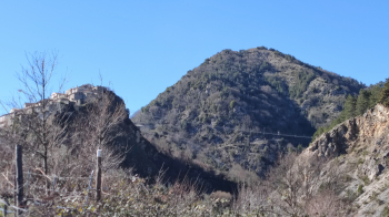
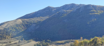
We set off from the town of Spinoso (PZ) along a stretch of asphalt road (lightly trafficked, mountain road) for about 8/10 km in the direction of the Croce di Raparo Refuge. At the fork before reaching the refuge, turn left and take a descent that leads us towards the Valle Lunghe locality. You continue to the foot of Mount Raparello. From here you take a path to the right. Trail that in the first part is quite technical (S4) because of boulders and steps. Past this technical point the trail continues through the woods until it joins the SP36 Armizzone road.
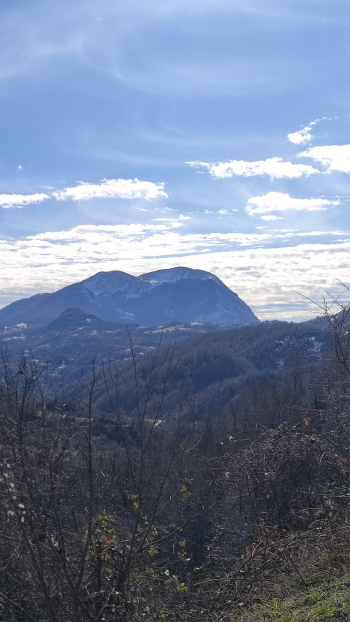
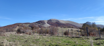
Here you can admire Mount Raparo until you reach the village of Castelsaraceno (awarded the Orange Flag 2023 by the Italian Touring Club and where you can cross the longest Tibetan bridge in the world). We continue until we reach near the cemetery where we tuck into a dirt road that leads us back to the slopes of Mount Raparo. We climb a section with a considerable gradient until we reach the Acqua la Spina locality and then continue, left inside the beech forest, toward the Croce di Raparo refuge. From here, steeply downhill (also with several fun variations) we return to the village of Spinoso.