Le Croix de la Cime (Saint Chaffrey)
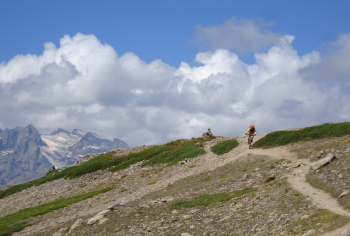
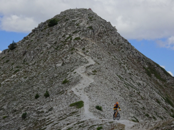
Start from Saint Chaffrey, a small hamlet just outside Briancon. Short transfer to Chantemerle where we ride a must for road riders: the ascent to the 2413 meters of Col Granon. It is about 11 km of bitumen with an average very close to 10%. At Col Granon we lose altitude and pass adjacent to two small houses. We now point decisively toward the mountain range ahead of us. It is there that we will have to climb. Arriving at the foot of the mountain, the path climbs steeply and the best solution is to put the bike on the shoulder for a stretch that is not long and not difficult.
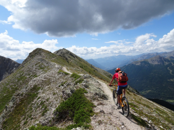
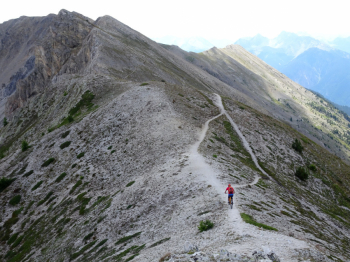
Alternating between pushing stretches and stretches where we incredibly pedal we arrive at the 2606 meters of La Croix de la Cime, which is on the watershed between Val Clarèe and Val Guisane.
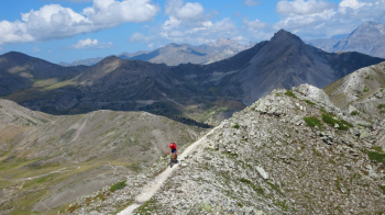
Now there is a short push section to engage the trail below. Now you will see a short out-and-back to the Grand Peyrolle. Pe my fault, we decided to retrace our steps by descending from the trail that cuts across the mountain. The choice is wrong; the path we made is not very cyclable. Where we returned it is better to continue on the ridge-pushing section to find the nice downhill section later.
Now you are in for an indigestion of single track, miles and miles of technical trails to the right point that will engage you in no small measure. Near a source of very fresh water we climb very little on a dirt road up to the Croix de Toulouse with excellent views of the Briancon plain. Be careful as we are on the arrival point of a via ferrata much traveled by hikers. The subsequent descent to Fort Des Salettes is on a wider path. We are now on the heights of Briancon and on the right starts a nice, quiet dirt road called Chemin des Fontaines that will take us back to Saint Chaffrey. More description of the route with photos can be found by clicking on the photoreport.


 Italiano
 Deutsch
