2024/08/26 20:50:59
Corvara - Badia
Author
Place
Italy - Trentino-Alto Adige/Südtirol, BZ
Km
14,65 km
Elapsed time
01:46:56
Vertical meters
+200 mt (1334 - 1513)
Route difficulty
Landscapes
Last update
2024/08/27 09:06:23
Comments
Description
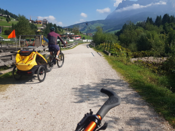
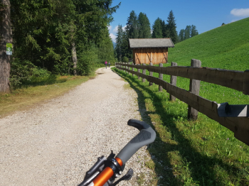
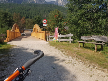
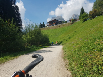
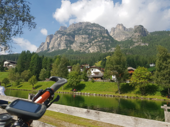
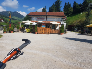
Park after the center of Corvara, there is a wide clearing on the road at the small bridge over the Gadera stream. The route is all on wide dirt road, slight elevation gain, there are numerous benches where to stop.
Local weather

°C

°C

°C

°C

°C

°C
Graph
Nearest Routes
2023/02/26
- Italy - Trentino-Alto Adige/Südtirol, BZ 16,43 km
Km
+510 mt
Vertical meters
Route difficulty
Landscapes
2023/03/04
- Italy - Trentino-Alto Adige/Südtirol, BZ 33,04 km
Km
+2 120 mt
Vertical meters
Route difficulty
Landscapes
25,21 km
Km
+880 mt
Vertical meters
Route difficulty
Landscapes
26,13 km
Km
+960 mt
Vertical meters
Route difficulty
Landscapes
24,35 km
Km
+700 mt
Vertical meters
Route difficulty
Landscapes
56,19 km
Km
+3 146 mt
Vertical meters
Route difficulty
Landscapes
40,24 km
Km
+2 250 mt
Vertical meters
Route difficulty
Landscapes
51,89 km
Km
+3 200 mt
Vertical meters
Route difficulty
Landscapes
2024/07/30
- Italy - Trentino-Alto Adige/Südtirol, TN 58,28 km
Km
+2 850 mt
Vertical meters
Route difficulty
Landscapes
17,91 km
Km
+830 mt
Vertical meters
Route difficulty
Landscapes


 Italiano
 Deutsch