La Cucumelle (Bianconnaise)
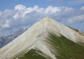
Hike to conquer the summit of La Cucumelle at 2698 meters, a pyramid that provides excellent views of the glaciers in the Ecrins Group. Warning: there are about 200 meters with bikes on your back and some descents are technical.
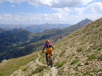
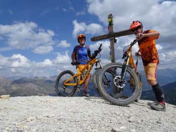
The start is from Villeneuve just after La Salle in Brianconnaise, France. You pass the houses of Le Bez and start climbing up a dirt road. We pass the village of Frejus and always alternating between dirt roads and ski slopes we arrive at the Refuge/Restaurant L'Echaillon. It is a continuous up and down on trails/steers past the Col de Mea, the Col du Frejus and we reach the Col de la Cucumelle It now begins a 200-meter section of elevation gain with bike on the back that gets harder and harder as we approach the summit cross of La Cucumelle. We descend on the trail that starts near the cross and joins the track that cuts across the mountain. We arrive at the Col du Gran Pré still on a trail that becomes more and more challenging as we lose altitude.
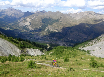
When we enter the woods the trail is very technical with steep, hairpin bends on smosso, roots and rocks. We enter the Serre Chevalier bike park and take one of the many black trails that are nothing compared to what we just did. The trail in the bike park is natural, with a few steps and roots and nice banked turns. The descents in the bike park are different, it is up to you to close the loop with the one you prefer. Our descent ends at Le Monetier Les Bains where we take off our protections. We return to the car, avoiding the busy paved road by riding on trails and dirt roads until Villeneuve.
Caution: thinking we were doing yet another nice trail near a sign indicating Le Bez we took a flat path that runs along a watercourse but is not cyclable (it will be 400/500 linear meters). It may be best to continue on, avoiding the detour. More details with photos and description by reading the photoreport.


 Italiano
 Deutsch

