Le Chemin du Roy
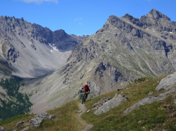
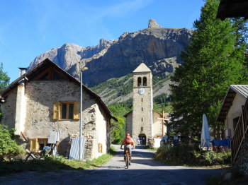
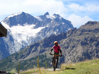
Hike that guarantees excellent views of the Ecrins Group in France and presents no particular technical difficulties. We start from the small village of Les Guibertes (Le Monetier les Bains) near Briancon (free parking behind the Church). On asphalt with zero traffic and on a dirt road we ride through the Val Guisane and reach the villages of Le Casset and Le Lauzet. Near the little church of La Madeleine we push the bike to join the busy Route 1091, which fortunately we will only cross.
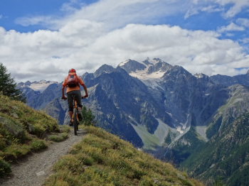
Oncewefind the post indicating "Le Chemin du Roy" we have to push the bike for about 100 meters of elevation gain. Now begins a long traverse, in some sections slightly exposed, never difficult, that leads us to theAlpe de Lauzet.. Very short push uphill for the less trained and we continue, still on awesome single track, flat and then slightly uphill until the beginning of the descent. Initially on meadows then in the woods until Le Monetier les Bains. To descend there are two possibilities: a very simple but very beaten by hikers trail to the left and a dedicated bike trail to the right with several hairpin bends. The GPX track proposes the second one. Once in Le Monetier les Bains we avoided the busy Route 1091 by retracing the quiet route taken on the way out.
The reference trail if you have French maps is partly number 23 for the VTT. If you see short go/returns in the trail, don't do them: we made a mistake and I don't have time to fix the trail! For everything else refer to the photoreport.


.


 Italiano
 Deutsch