Italiano
 Deutsch
Torre de Busi - Pertus - la Muerte - Corna Martinella
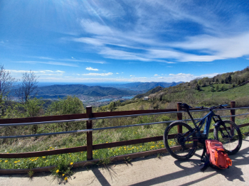
AM/EN ride with beautiful views of Lecco mountains and lakes, and two of the most iconic technical descents (S2/S3) in the Lecco - Pontida area. Departure from St. Gotthard LC from the parking lot of the water distributor, wanting 300 meters further down is the more convenient parking lot of the cemetery. Ascent on bitumen until Carenno, from there it becomes a forestry road with a few tears until Pertus, an area behind the Valcava pass with beautiful views and its characteristic pond.
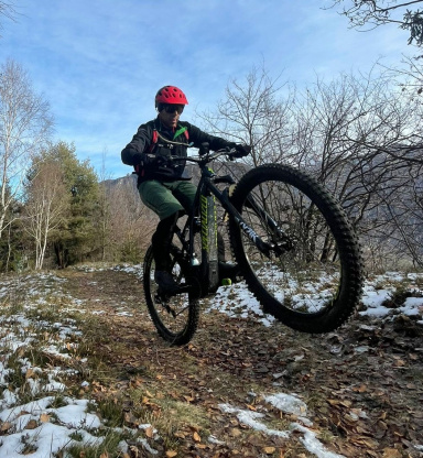
From there first downhill section on beech forest, rather treacherous if wet because of the many roots, after a slight ascent on a secondary forest road you take a path to a small church, from there starts the first descent on a rather rocky mule track with a few hairpin bends, crossed the forest road from which we climbed to Pertus you descend to the next hairpin bend and take a forest road with some important slopes until you get to some farmsteads, from there immediately left to take the famous (and infamous ....) descent of the "muerte".
At the beginning it is a singletrack in the forest but gradually becomes steeper and more challenging because of the bumpy bottom that will test our technique and brakes. At the end of the descent, after a small ford, we return to Carenno, from there from the road from where we first climbed we take a forest road with really very steep cemented sections, arrived at a crossroads we continue to the right on the forest road and arrived at a crossroads with a shrine turn left, after a plateau with some hunting lodges we make the last short climb to get to the top of the Corna Martinella mountain, from here the second descent so beloved by the locals, with a very steep first section, a middle one with some rocky passages not to be underestimated, and finally a very fast finish, which after a series of hairpin bends takes us to the road to Torre de Busi. Here we take a right to return to the starting point.