Labante
Four nice descents and as many ascents in the Labante area; the descents are well taken care of by the Biker Bolognesi group and they have done a great job. We leave the parking lot and go up the provincial road to Santa Maria di Labante. Continue on the gradual climb to S.Cristoforo di Labante and here turn left toward castel d'Aiano. Pass Ca Betti and continue to Pianella . Follow the asphalt and at an altitude of 750 meters turn right onto a small road that goes around a house and continues on a well-pedaled cavedagna. You arrive on asphalt proco before Ca Vecchia and climb the hard slope to a toward Monte Castellana. When you get to Monti you follow right to Monte Castellana, a little more climbing (and some pushing passages) and you come off the summit at some antennas.
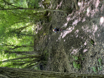
Here begins a very wild and fun trail, with some nice tough technical passages and some short sections on scree. You reach Ca Betti and here turn left i back to San Cristoforo di Labante. Here turn left and go up towards Riola di Labante and at the village of Riola on the right cross it and go up to an altitude of 660 meters (just south of Monte Valbura). Here the last trail begins, the Tana. A real treat with technical passages, hairpin jumps, passages on rock, steep slopes. You arrive again at the cave and the SP where you find the starting parking lot.
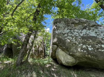
You go back up towards Labante and Riola di Labante and at the village this time you go straight ahead, continuing north and the climb gets tougher. You reach the top of the hill just below Monte Valbura. This is where the Acquachiara trail begins; smooth and fun with a few technical passages, you go over the Moab-like rocky slab and then climb back up then to Spazzavento and then again uphill (pushing in places) to get around Monte Finocchia. Continue uphill until just below Mt. Belevedere. Here take a left and the Biscio trail begins; also flowing with a few switchbacks and technical jumps, steeps and rock passages. The trail ends at the cave and you will soon reach the SP and the car.


 Italiano
 Deutsch