Italiano
 Deutsch
Cima Comer e le Cascate di Piovere con il sentiero del Tampa

Cima Comer is a challenging but always spectacular tour because of the views from the top. I'm adding two ingredients to it today: the Rain Falls and the Tampa Trail. Get ready for a wild tour for true connoisseurs.
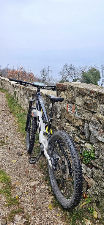
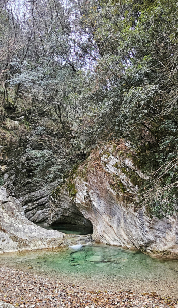
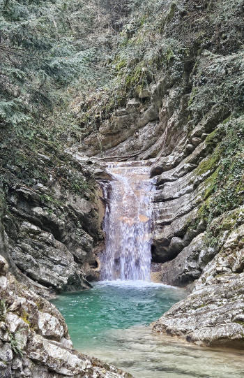
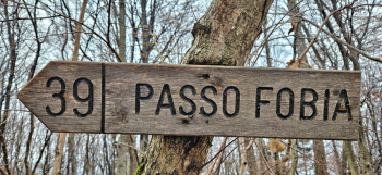
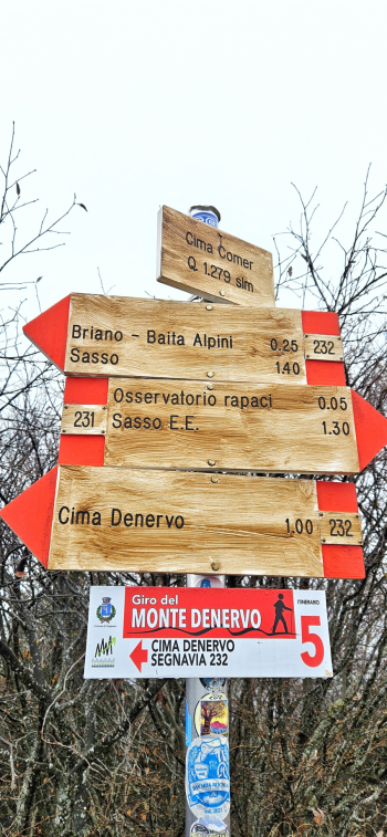
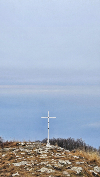
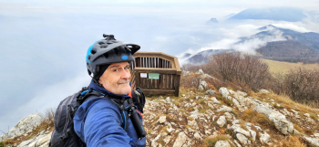
We start in Bogliaco di Gargnano (BS) and climb on ancient roads to Muslone. Here we will have the first treat of the day, namely the natural bike path overhanging the #garda from a thousand and one nights. Once in Piovere second treat: that is the detour to the Piovere waterfalls that you will reach on foot (only 3 minutes) but that will amaze you with their beauty. We continue back to Piovere where the ascent to Comer begins. First easy section then the last 4 killer ramps up to Malga Premaur. Here we will have to face an All Mountain section with reduced rideability until the junction with the trail coming from Denervo peak. I recommend you leave the bike here and continue on foot to the top of Comer where you will find a unique panorama and the famous Balcony on Garda cantilevered into the void. Back to the bike and back downhill to Malga Premaur. Well begins the wild stretch to the entrance of the real trail Sentiero del Tampa (No. 244). No. 244, was renamed as the Tampa trail in memory of a coalman who worked all his life in the area above Piovere di Tignale. His persistence led him for many years to seek solutions to the problem of water shortage in the area where he worked. To avoid having to go down to the valley to replenish his supply of the precious commodity, Tampa turned to a dowser. The latter pointed him to the spot where he would have to dig. Tampa's heroic feat was viewed with skepticism by the villagers, as it was common knowledge that the precious resource was impossible to find in that area. Determined more than ever, the coalman dug a second tunnel after the first one collapsed along with the nearby Giàl. Apparently his venture was successful. This trail, rediscovered by some hiking enthusiasts after years of disuse, is a testament to the strength and tenacity that were needed to make a living in the rugged hinterland of Lake Garda. This trail is very freeride in the middle sections but also wild. It will lead you to a final cemented mule track that will take you back to that of Piovere. From here back to a natural bike path among the Garda olive trees with only one flaw. Unfortunately we will have to make a short tunnel on asphalt because the bike path to Gargnano is closed due to landslide. Little matter, we will reach the car again without problems.
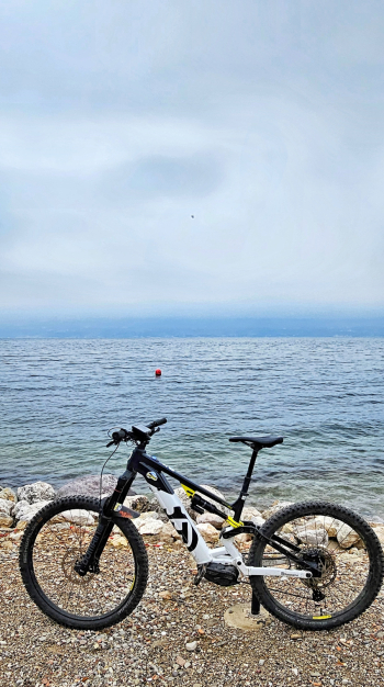
RECOMMENDED ROUTE FOR MOUNTAIN BIKE and/or E-BIKE ALL MOUNTAIN.
NB: At the time of entry this ride is all doable without any particular problems. We disclaim any responsibility for any inconvenience due to lack of maintenance of the trails or deterioration of the same due to external and/or natural agents and a wrong assessment of the tour.