Farno, Sparavera
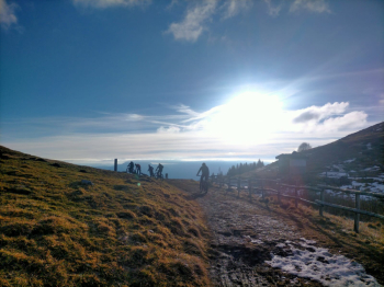
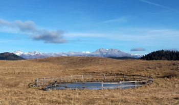
Loop trail between Farno and Sparavera, beautiful views and descents. Ascent on comfortable asphalt (or for emtb this is more fun). Arrived at the plateau of Farno you pedal on very comfortable dirt road and you can stop at the Parafulmine refuge.

From here begins the first descent that will take us to the Oats Fields, the first part forces a couple of push passages on rock and many relaunches, the second is a technical S2. As an alternative to this section you can do the more technical S3 and scenic trail part of This trail. From Campi d'Avena you go up (doable by Emtb) on a hill from which a nice technical S3 descent comes down, you can avoid it by following the nice dirt road that leads to the Malgalonga refuge from This track.
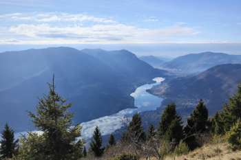
After these 200 meters of descent it will be up again from a beautiful single track in the woods all rideable in emtb that will take us below the Sparavera. With a last effort we climb to the bench and then to the cross with views of Lake Endine and Lake Iseo.


From here it's pretty much all downhill, we descend first on pratone S1 looking for the most or least technical passage (depending on one's taste) and then get to the very last descent S2, a fast mule track with a lot of smosso and various roots that if taken at the right speed can become challenging. The track closes in the village where with a few more junctions you can return to the starting point
Push/shoulder: No in Emtb
MTB: Yes
EMTB: Yes
Duration in Emtb about 4h
Difficulty climb: easy first part, then challenging to climb back up to Sparavera.
Difficulty descent: medium S2, with S3 in the middle descent.
Drainage: yes but the rocks on the S3 descent could be challenging if wet
Alternatives to this trail: This one that avoids the central S3 descent; This one is a good cue for the ascent
Thanks to Bertok for showing me this trail


 Italiano
 Deutsch