
 Italiano
 Deutsch
2023/12/07 20:01:02
All-In Trail Accessibile
Author

Place
Italy - Emilia-Romagna, BO
Km
21,58 km
Elapsed time
01:40:50
Vertical meters
+670 mt (396 - 739)
Route difficulty
Landscapes
Last update
2025/02/08 22:31:29
Comments
Description
WARNING!!!
As a result of the floods and landslides in recent months, the route is not 100% passable. Contact [email protected] for information and details.
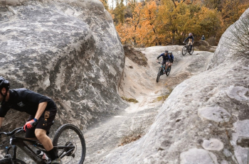
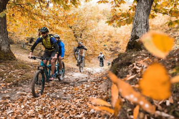
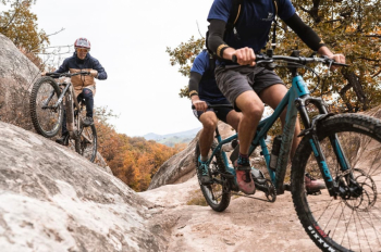
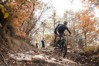
A practicable trail in all seasons of the year, featuring an easy trail with no excessive inclines or technical passages.
ALL-IN is BOM.BA's first accessible trail and was created in collaboration with the Silvia Parente Sports Foundation.
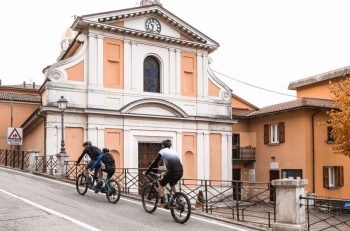
The loop trail can be ridden on traditional mountain bikes as well as handbikes and tandems. #bolognamontana
Local weather
Today

13 °C
Tonight

9 °C
Tomorrow
14 °C
Tomorrow night
9 °C
Saturday

14 °C
Saturday night

6 °C


Graph
Nearest Routes
26,15 km
Km
+1 050 mt
Vertical meters
Route difficulty
Landscapes
34,36 km
Km
+1 550 mt
Vertical meters
Route difficulty
Landscapes
16,42 km
Km
+650 mt
Vertical meters
Route difficulty
Landscapes