2023/11/04 19:26:26
Cresta Vaccera Trail
Author
Place
Italy - Piemonte, TO
Km
22,85 km
Elapsed time
02:37:58
Vertical meters
+944 mt (719 - 1516)
Route difficulty
Landscapes
Last update
2023/11/05 09:12:47
Comments
Description
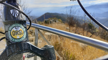
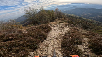
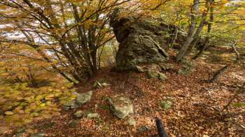
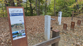
Trail on the ridge that descends on the ridge that divides the municipalities of Angrogna, San Germano, Prarostino and Bricherasio very beautiful and scenic: it starts from 1500 of Monte Castelletto and descends to 800 meters of Trattoria Piani with further possibilities to descend to San Secondo di Pinerolo and then do over 1000 meters of negative elevation gain almost all on single tracks or dirt roads always arranged by the Bears Trail Crew. Remarkable is the presence of e-bike charging stations in San Bartolomeo and precisely at Trattoria Piani due to Upslowtour which is involved in promoting sustainable tourism in the area!


Local weather
Today

24 °C
Tonight

14 °C
Tomorrow

24 °C
Tomorrow night

16 °C
Monday

18 °C
Monday night

13 °C
Graph
Nearest Routes
32,16 km
Km
+1 201 mt
Vertical meters
Route difficulty
Landscapes
38,20 km
Km
+1 162 mt
Vertical meters
Route difficulty
Landscapes
23,51 km
Km
+820 mt
Vertical meters
Route difficulty
Landscapes
2024/06/20
- Italy - Piemonte, TO 39,62 km
Km
+1 480 mt
Vertical meters
Route difficulty
Landscapes
2022/11/27
- Italy - Piemonte, TO 16,95 km
Km
+665 mt
Vertical meters
Route difficulty
Landscapes
14,93 km
Km
+750 mt
Vertical meters
Route difficulty
Landscapes
27,06 km
Km
+1 103 mt
Vertical meters
Route difficulty
Landscapes
16,51 km
Km
+973 mt
Vertical meters
Route difficulty
Landscapes
2022/09/15
- Italy - Piemonte, CN 32,59 km
Km
+1 518 mt
Vertical meters
Route difficulty
Landscapes
35,25 km
Km
+1 745 mt
Vertical meters
Route difficulty
Landscapes


 Italiano
 Deutsch

