HOME RANKINGS CHALLENGES ROUTES NEAR ME PLANNING SEARCH LOGIN
Italy - Lombardia, BS
2023/10/30 14:59:53

La Ponale e la dura salita di Leano verso i Prati di Guil e Punta Larici

409 Downloads
14
 
Share
Author
Giulien
(110)
Place
Italy - Lombardia, BS
Km
28,31 km
Elapsed time
03:29:37
Vertical meters
+1 448 mt (69 - 1257)
Route difficulty
Landscapes
Last update
2023/10/31 10:29:24
Comments
4
Description

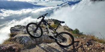
A tour for everyone, this is what I propose for you to admire our #garda Lake even in the less warm periods. The colors and the paths you will encounter will enter you inside making this adventure unforgettable as well. Pay attention only to the first climb to Leano that will be challenging.

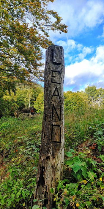
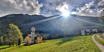
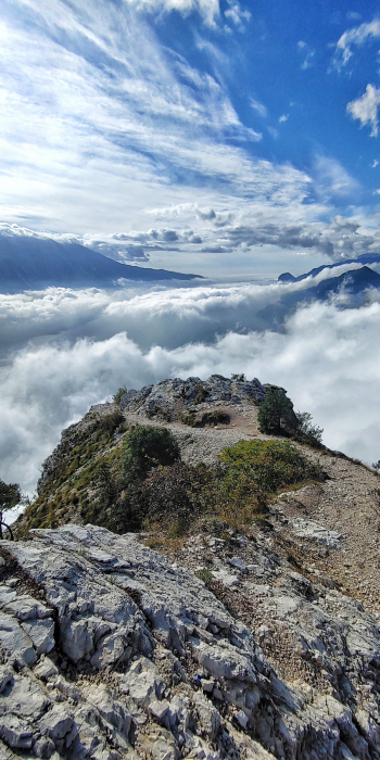
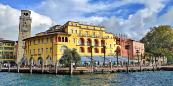
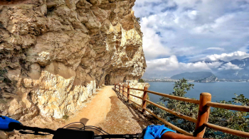
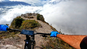
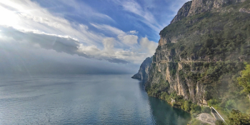
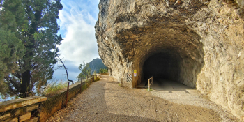
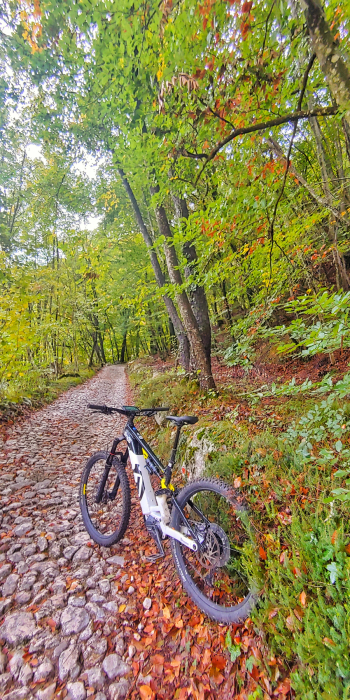
We start from Riva del Garda and climb towards Ponale, in my opinion one of the most beautiful and scenic trails in the world. We veer toward Lake Ledro and then about 400 meters up we go left on a dirt then cemented road until we intersect the cobblestone that climbs toward Leano. Here dear ones we will have to give our best because in only 6.5 km we will go from 420 m to 1,200 m with an elevation gain of 800 meters. In fact we arrive at the Vil pass or Guil pass and with a last tear we go up the meadows of Guil. Now super trail typical of the little known and beaten Garda brescian area up to Rocchetta pass. Here we will have the only solution that is No. 422 now paved and devoid of technical difficulties. We arrive at Malga Palaer and then to the stupendous Punta Larici.From this point ritual photo then all easy descent until we return to Ponale then to the starting point. I am sure that the tour will not disappoint.

RECOMMENDED TOUR FOR MOUNTAIN BIKE and / or E-BIKE ALL MOUNTAIN

NB: At the time of inclusion this tour is all doable without any particular problems. We disclaim any responsibility for any inconvenience due to lack of maintenance of the trails or deterioration of the same due to external agents and / or natural and a wrong assessment where the tour.
Download our free mobile app to send this route to your Garmin device or to navigate it on OSM maps. Android - iOS
Local weather
Today
9 °C
Tonight
3 °C
Tomorrow
12 °C
Tomorrow night
5 °C
Saturday
14 °C
Saturday night
7 °C
Sunday
12 °C
Sunday night
6 °C
Monday
11 °C
Monday night
5 °C

Graph

Nearest Routes

2022/12/16
- Italy - Trentino-Alto Adige/Südtirol, TN
Giulien
(110)
40,35 km
Km
+2 000 mt
Vertical meters
Route difficulty
Landscapes
2023/05/07
- Italy - Trentino-Alto Adige/Südtirol, TN
giannig
(23)
38,95 km
Km
+1 700 mt
Vertical meters
Route difficulty
Landscapes
2022/12/10
- Italy - Trentino-Alto Adige/Südtirol, TN
Giulien
(110)
33,62 km
Km
+1 462 mt
Vertical meters
Route difficulty
Landscapes
2022/12/05
- Italy - Trentino-Alto Adige/Südtirol, TN
marco
(131)
25,12 km
Km
+1 045 mt
Vertical meters
Route difficulty
Landscapes
2022/12/16
- Italy - Trentino-Alto Adige/Südtirol, TN
Giulien
(110)
46,69 km
Km
+1 850 mt
Vertical meters
Route difficulty
Landscapes
2022/10/04
- Italy - Trentino-Alto Adige/Südtirol, TN
marco
(131)
57,38 km
Km
+2 164 mt
Vertical meters
Route difficulty
Landscapes
2022/10/04
- Italy - Trentino-Alto Adige/Südtirol, TN
marco
(131)
37,96 km
Km
+1 409 mt
Vertical meters
Route difficulty
Landscapes
2023/01/15
- Italy - Trentino-Alto Adige/Südtirol, TN
Seraffo85
(15)
36,39 km
Km
+1 342 mt
Vertical meters
Route difficulty
Landscapes
2023/04/29
- Italy - Trentino-Alto Adige/Südtirol, TN
marco
(131)
33,54 km
Km
+1 362 mt
Vertical meters
Route difficulty
Landscapes
2022/10/04
- Italy - Trentino-Alto Adige/Südtirol, TN
marco
(131)
14,30 km
Km
+446 mt
Vertical meters
Route difficulty
Landscapes

4 Comments