Italiano
 Deutsch
Tremalzo - Cima Tuflungo - Passo Nota - Bocca Sospiri

This time we climb up to the famous Tremalzo Pass and then to the little-known Cima Tuflungo. An easy descent between tunnels before tackling Bocca Sospiri which will be first loose, then rocky, then flowing and spectacular.
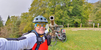
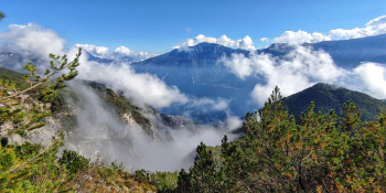
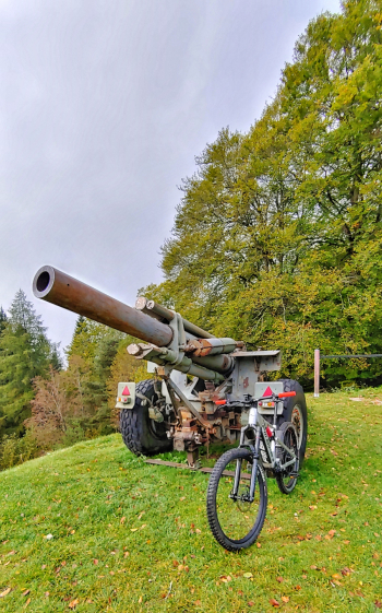
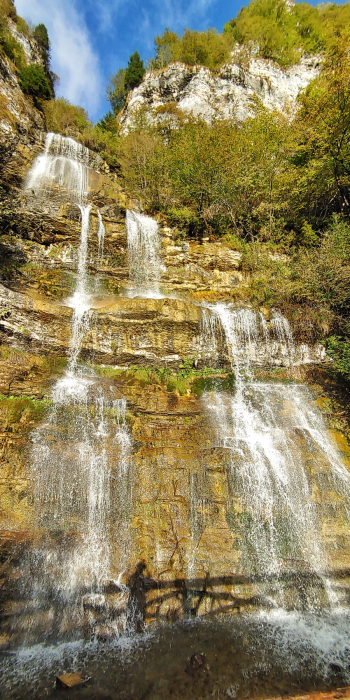
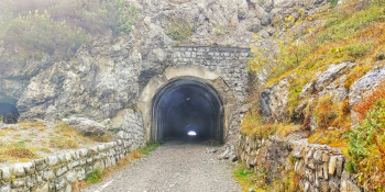
I take you today to a beautiful environment made of colors and scents that only Lake #garda can give us. We will start near Vesio and climb towards the San Michele Valley with a steady and mostly pedalable pace. The first treat will be the Pisù Waterfall that you will admire in all its beauty before reaching the Cocca Pass, then Malga Ciapa and the Tremalzo Pass. From that point we will still have about 1.7 km of ascent. Come on and continue to reach the first tunnel above Corno della Marogna. From this point we can prepare for the descent into history, through tunnels and trenches. Carefully at about 1,630 meters above sea level we will deviate to the left to climb to Cima Tuflungo always pedalable with a panorama of a thousand and one nights. Now we descend backwards with a spectacular panorama that will accompany you during this stretch to Nota Pass. From here we continue always between tunnels and smosso but never impossible, until the crossroads at an altitude of 1,040 with indication Dalvra Alta and Bocca Sospiri. A trail on the coast will accompany you with one last tear to Bocca Sospiri where Lake Garda will show before you. Now here we go: the Rock N' Roll starts all driven and bumpy with a couple of intense technical points until the final flow that will take you right below Monte Bestone. Final walkway on secondary road and we will be back at the starting point.
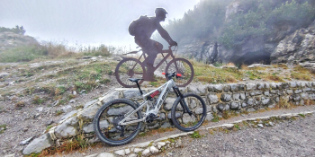
RECOMMENDED ROUTE FOR MOUNTAIN BIKE and/or E-BIKE ALL MOUNTAIN.
NB: At the time of entry this ride is all doable without any particular problems. We disclaim any responsibility for any inconvenience due to lack of maintenance of the trails or deterioration of the same due to external agents and / or natural and a wrong assessment where the tour.