Cima Costabella Epica, DH Veleno, DH Sommavilla
A partially unseen Mount Baldo, lake side. The goal of this tour is to descend from Cima Costabella for an epic trail to Punta Veleno to continue the descent, after a quick transfer, along another exciting trail down to the lake.
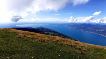
Ascent
We start from Cassone, parking lot by the sports center. We head to Sommavilla. In the center of the village we turn left to embark on an evocative cobblestone road that takes us to the first hairpin bend of the infamous climb to Punta Veleno, coveted and feared by bitumen specialists because of the considerable and constant gradient.
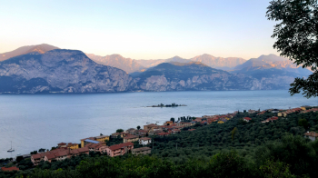
Having reached a thousand hundred meters higher at Punta Veleno, in order to avoid a downhill stretch on asphalt, it is possible to take a path parallel to the road on the right. Back on asphalt we reach Prada and climb a steep but, if desired, rideable dirt road. At a T-junction we turn right and soon begin to pedal more nimbly up a nice rough track to Località Due Pozze. At the parking lot we turn left, taking the classic climb to the Fiori del Baldo and Chierego refuges.
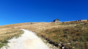
At the latter refuge, after a good reintegration, we continue, bike on our shoulders to tackle the final stretch of ascent (a half-hour) up the Costabella ridge to the summit, 2153 meters.
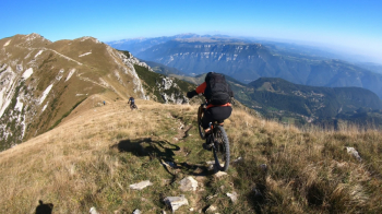
Descent
From the summit we descend along the rocky ridge towards Bocchetta di Coal Santo, 1978 meters. From here we throw ourselves to the left (lake side) along a narrow not easy path (marker 55) that with a few hairpin bends descends into the valley below.
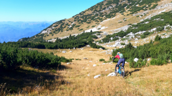
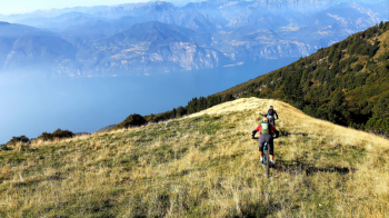
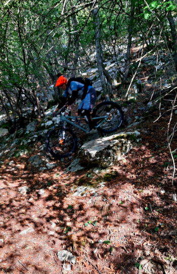
Climbing up a few meters we reach a grassy ridge. Now, lake view, we descend the exhilarating trail to a fork (locality le Buse, 1623 meters). We keep to the right reaching the nearby malga. From here we follow the trail along the grassy ridge with the blue of the lake before our eyes. At the end of the meadow we enter the woods and the fun continues along a beautiful and challenging trail that, always following the ridge, never lets up until we reach Punta Veleno, 1150 meters.
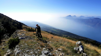
We retrace the asphalt road from the climb back to the first hairpin bend, where we continue straight ahead, taking a trail, at first with a long midsection and then plunging toward the lake. The final stretch is a bit of a price to pay for the great fun: fine scree where floating while maintaining balance becomes the imperative. The arduous game soon ends; a cobblestone quickly takes us back to Sommavilla. A beautiful path along dry terraces takes us back to Cassone, the starting point.


 Italiano
 Deutsch