2023/09/09 18:19:52
Lago Vargno - Valle del Lys
Author
Place
Italy - Valle d'Aosta, AO
Km
21,23 km
Elapsed time
02:34:43
Vertical meters
+930 mt (836 - 1676)
Route difficulty
Landscapes
Last update
2023/09/10 21:44:05
Comments
Description
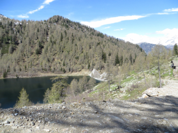
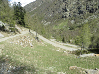
Counterclockwise tour starting from the hamlet of Colombit, after the bridge over Fontainemore and on asphalt to reach the hamlet of Pillaz and continue to the right with arrival at Pian Coumarial. From here begins dirt road that with some final ramps leads to the artificial lake Vargno 1,680 meters, created in 1917 and never used for hydroelectric purposes due to the well-known events of 1963 ( Vajont tragedy). Descend again and continue straight into the valley in the direction of Pillaz and then asphalt to the hamlet of Colombit.

section with steep ramps

Local weather

°C

°C

°C

°C

°C

°C
Graph
Nearest Routes
17,67 km
Km
+1 367 mt
Vertical meters
Route difficulty
Landscapes
20,49 km
Km
+903 mt
Vertical meters
Route difficulty
Landscapes
24,87 km
Km
+1 231 mt
Vertical meters
Route difficulty
Landscapes
25,79 km
Km
+2 400 mt
Vertical meters
Route difficulty
Landscapes
25,85 km
Km
+2 100 mt
Vertical meters
Route difficulty
Landscapes
27,23 km
Km
+1 889 mt
Vertical meters
Route difficulty
Landscapes
14,78 km
Km
+1 000 mt
Vertical meters
Route difficulty
Landscapes
37,32 km
Km
+1 850 mt
Vertical meters
Route difficulty
Landscapes
72,44 km
Km
+2 200 mt
Vertical meters
Route difficulty
Landscapes
18,95 km
Km
+1 050 mt
Vertical meters
Route difficulty
Landscapes


 Italiano
 Deutsch