HOME RANKINGS CHALLENGES ROUTES POI PLANNING SEARCH LOGIN
Italy - Veneto, BL
2023/09/07 09:11:49

Val Fiorentina Loop

3 Downloads
1
 
Share
Author
Paoloc1
(61)
Place
Italy - Veneto, BL
Km
47,55 km
Elapsed time
05:55:32
Vertical meters
+1 800 mt (1005 - 2386)
Route difficulty
Landscapes
Last update
2023/09/07 21:37:47
Comments
1
Description

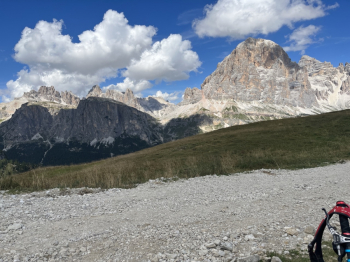
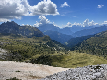
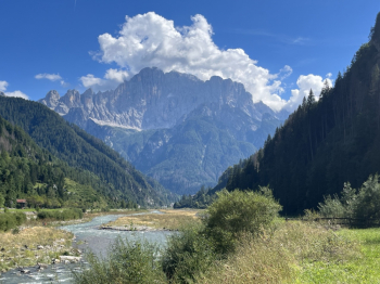
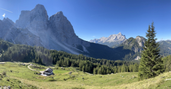
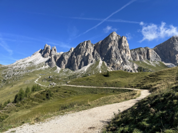
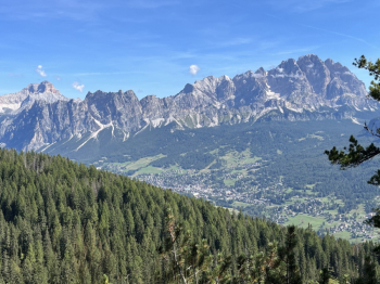
A beautiful hike from Val Fiorentina via Cortina, Averau and back to Alleghe. Start from Rifugio città di Fiume parking lot, Città di Fiume, Malga Prendera, (forest uphill very well pedalable and scenic), climb to Col Duro (push sections also by e-bike), pedalable traverse to Forcella Ambrizzola, very smooth descent on trail to Rifugio Palmieri, trail 431: first section flowing, intermediate section with a couple of passages at the limit of feasibility, final section (follow singletrack) technical but well doable up to Casera Macaron (with source).

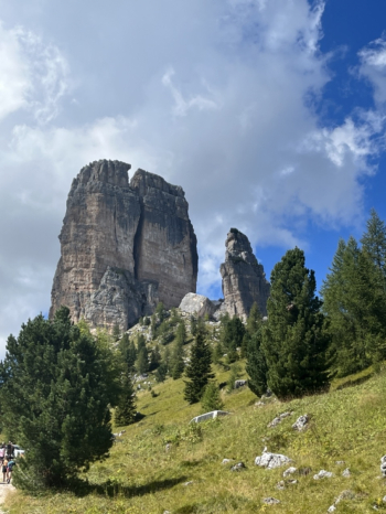
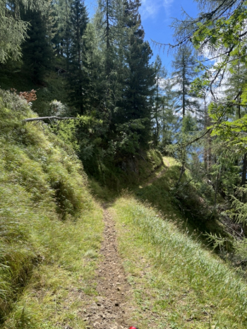
Forestry with ups and downs to Pezie de Paru Bridge, turn left and short stretch of asphalt and then forestry uphill (alternatively trail, but steeper steep), traffic-restricted road to Rifugio 5Torri (better to stay on asphalt and avoid the very steep path in the last stretch), hard climb to Rifugio Averau (but rideable on e-bike), nice descent for 441 on the plateaus below Averau and Pore (some technical sections) and then you enter the beautiful forestry of Sentiero della vena until Canazei (hamlet of Colle Santa Lucia), then path to Caprile, and bike path to Alleghe.
Download our free mobile app to send this route to your Garmin device or to navigate it on OSM maps. Android - iOS
Local weather
Today
-1 °C
Tonight
-9 °C
Tomorrow
2 °C
Tomorrow night
-6 °C
Monday
3 °C
Monday night
-3 °C
Tuesday
3 °C
Tuesday night
-2 °C
Wednesday
3 °C
Wednesday night
-3 °C

Graph

Nearest Routes

2022/09/05
- Italy - Veneto, BL
at1839
(26)
27,93 km
Km
+1 214 mt
Vertical meters
Route difficulty
Landscapes
2022/09/05
- Italy - Veneto, BL
at1839
(26)
15,54 km
Km
+702 mt
Vertical meters
Route difficulty
Landscapes
21,37 km
Km
+1 140 mt
Vertical meters
Route difficulty
Landscapes
2024/08/17
- Italy - Trentino-Alto Adige/Südtirol, TN
Paoloc1
(61)
78,08 km
Km
+3 250 mt
Vertical meters
Route difficulty
Landscapes
2024/08/11
- Italy - Veneto, BL
Paoloc1
(61)
35,91 km
Km
+2 048 mt
Vertical meters
Route difficulty
Landscapes
2022/09/06
- Italy - Veneto, BL
at1839
(26)
20,39 km
Km
+954 mt
Vertical meters
Route difficulty
Landscapes
2022/09/20
- Italy - Veneto, BL
at1839
(26)
20,93 km
Km
+1 318 mt
Vertical meters
Route difficulty
Landscapes
2022/09/05
- Italy - Veneto, BL
at1839
(26)
25,62 km
Km
+1 103 mt
Vertical meters
Route difficulty
Landscapes
2022/09/05
- Italy - Veneto, BL
at1839
(26)
15,51 km
Km
+594 mt
Vertical meters
Route difficulty
Landscapes
2024/08/14
- Italy - Veneto, BL
Paoloc1
(61)
29,96 km
Km
+1 832 mt
Vertical meters
Route difficulty
Landscapes

1 Comments