Giro del Monte Rosa 3/5: Ofentalpass/Mattmark Stausee/Saas-Almagell/Saas-Balen/Sankt Niklaus/Zermatt/Schwarzsee
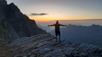
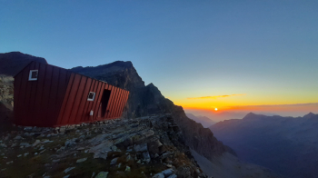
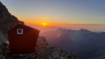
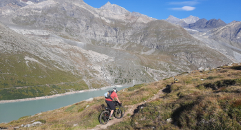
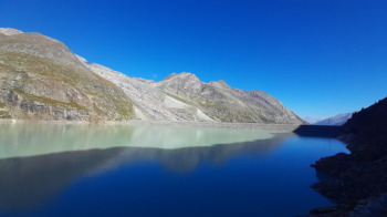
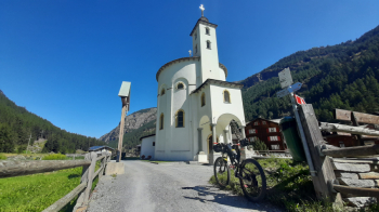
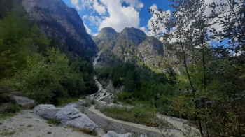
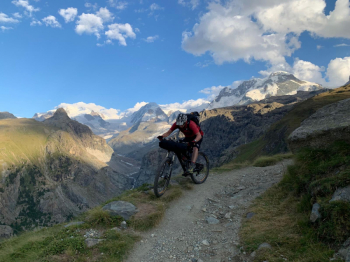
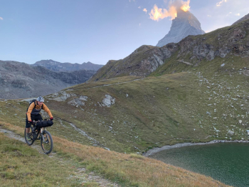
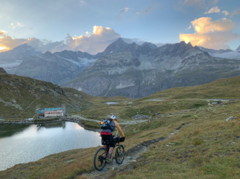
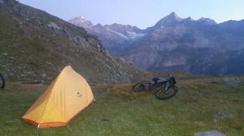
Sensational sunrise, this place is truly magical. We go down to retrieve the bikes and in the saddle we cross the valley. As we lose elevation the trail becomes more and more uneven and we necessarily have to do parts on foot. Arriving at the Mattmark Stausee we make our way to the dam bridge and then via forestry/bike trails to Saas-Almagell where we enjoy a typical Valais breakfast of rösti, egg and crispy bacon. After Saas-Balen (precisely in Niedergut) we cross the river and take a nice exposed path that with ups and downs avoids the Cantonal Road and leads to the end of the valley. A few hairpin bends and we climb back to the paved road, take the Zermatt valley and shortly afterwards join the Visp/Zermatt cycle path, which also allows us to avoid the traffic on the Cantonal Road. We pass through the villages of Sankt Niklaus, Randa and Täsch, almost all on dirt track, water present all along the way. Arriving in Zermatt, we stop at a supermarket in the center to get supplies and head down the Moosstrasse that leads up to the Furi cable car. The Matterhorn greets us all the way up from Zermatt. Shortly after the Furi cable car we take the trail to the Schwarzsee (first section very steep with bike on the shoulder, then we even pedal something , or at least manage to push the bike). We arrive at the Schwarzsee (2583 m) at sunset. We pitch our tent near the little church (which is currently being renovated). There are no streams or fountains here so we use the water from the lake for cooking and drinking.
Day 1 | Day 2 | Day 3 | Day 4 | Day 5


 Italiano
 Deutsch