Val Nossana, Val Canale, Val Sanguinia
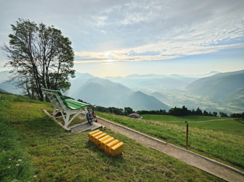
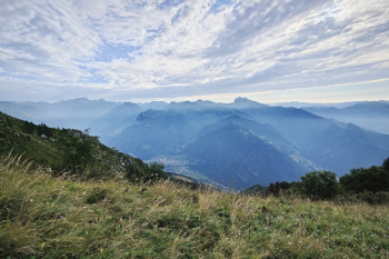
Itinerary connecting 3 valleys: Val Nossana, Val Canale, Val Sanguinia. Departure from Parre, climb on pedalable cement road but with average gradient of 15% with peaks of 20%.


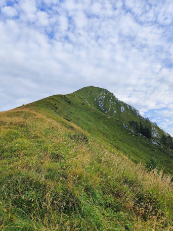
At the Vaccaro refuge water point. The climb continues always pedalable for another 150 meters then 100 meters on path too dug to be pedalable. From the pass it is possible to push to the summit of Vaccaro (+200 meters).

You descend to meadow to take the descent that goes to Val Canale. Potentially beautiful but at this time dirty so not very rideable until 1500 elevation, where it then begins to improve. Once in Cacciamali continue on a very nice descent that ends with asphalt in the second part.

Arriving in Val Canale the second climb begins. Up to 1100 meters on asphalt well rideable, then on mixed carrale with average gradients of 20%.

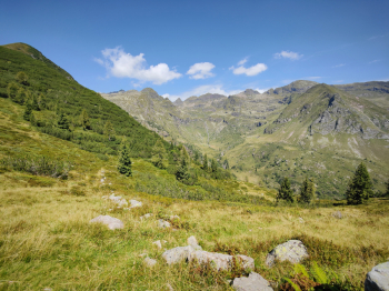
From the Alpe Corte hut begins a super fun 3.5 km long traverse that ends below the Zulino. After a first part on prairie rideable with emtb you continue pushing for 200 meters to the Zulino pass. From here begins the very nice final descent, with some interesting technical passages, and passages on the walkways of the Val Sanguinia swamp.

When you reach Rifugio Gianpace, you can either descend to the left (another trail) or to the right (less traveled by the Merenderos). The descent runs alongside the river never too fast with several technical passages. And it ends on a final cemented carrale bruciametri (on the way down I noticed a few forks to the left that I think allow you to avoid the final steep. From Novazza starts a final beautiful but dirty descent. Return on boring asphalt slightly downhill with detour avoids traffic in Piario area
An interesting trail unfortunately not always rideable due to the state of the trails perhaps given by the weather events of the last few months.


 Italiano
 Deutsch