Italiano
 Deutsch
Monte Ortigara da Piana di Marcesina

Mount Ortigara and generally all the surrounding mountains were the subject of the battles of the 15-18 war. This itinerary reaches the summit of Mount Ortigata (2100m) starting from the Marcesina plain (1400m), which can be reached by car either from Asiago, or from Valsugana, driving up from Carpanè, via the old tobacco road, a paved road almost always in the shade and with gentle slopes, with little traffic and much loved by road cyclists. One arrives at Foza and continuing in the direction of Enego on the left are signs for the Marcesina plain.
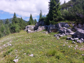
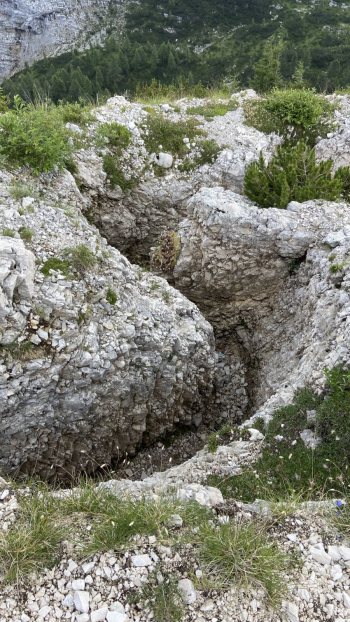
From here, through dirt roads and a few stretches of asphalt, you pass places of historical interest and can admire not only the natural landscape, which changes as the altitude increases, but also the signs of the Great War in the form of trenches, stone buildings, memorial plaques, small churches and more. Significant is Mount Oven with its fortifications. The entire road from Bivio Italia to Mount Ortigara is also surrounded by the remains of military buildings.
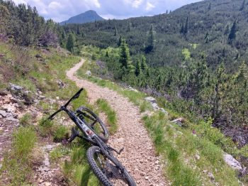
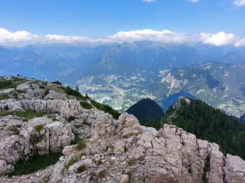
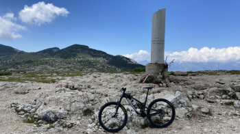
The tour does not involve challenging inclines, however, military roads with a rather rough and rocky surface are mostly followed. The last section up to Mount Ortigara requires going through single track between rocks and is not always cyclable. On Mount Ortigara there is a memorial and a bell. A little further on there are trenches and you reach the edge of the mountain from which you can see the Valsugana.
The return trip is mostly on the outward road with two detours, one of which involves a fun single track that shortens the return and takes us back to the junction at Mount Forno already encountered during the ascent. This segment includes a few sections of single track, meadows and steep descents that make the use of a full trail bike preferable and may force the less experienced to do some walking.
As I mentioned, the ride does not include any challenging inclines, however, you will largely be riding on military roads with a rather rough surface. For this reason, although it turns out to be an 1100m uneven ride, the physical commitment is closer to that of a 1500m ride.