
 Italiano
 Deutsch
Giro del Monte Ferru
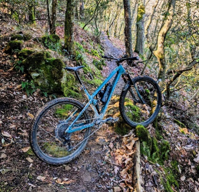
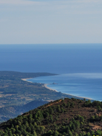
The route starts from the Beach of Cardedu (Museddu), and after an initial stretch of flat road it begins to climb towards Monte Ferru, first on asphalt with hairpin bends and significant gradients and then on dirt road. The forest road is wide and rideable, and as we climb the view is more and more beautiful and we can admire the beautiful Sardinian coast south of Tortolì.
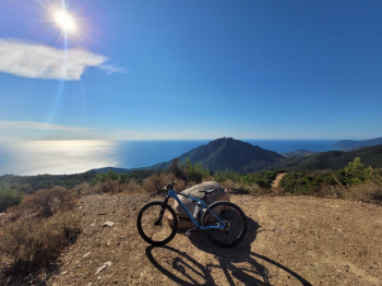
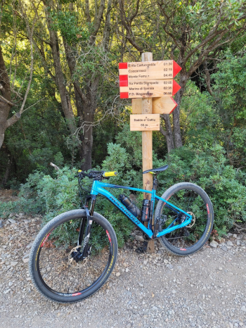
Having almost reached the summit of Monte Ferru (the summit can only be reached on foot) we begin to descend with a long series of wide switchbacks. We then follow to the left at the junction for Zinnibiri and on a very loose stony surface (but still easy to tackle given the gradients) we arrive at the very high Badde e'Gattiu pass (55m).
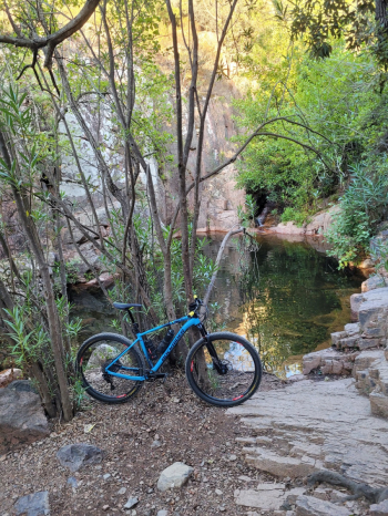
The trail makes a short detour to the natural pools of MonteFerru, with 2 small pools of water (if the season has been rainy or you pass there in spring) and shaded benches for a short break.
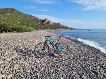
We start again returning to the dirt road and after about 1 km we find a junction, the trail goes right and down to the sea visiting Coccorrocci beach, unique with its large round pebbles and then goes back up via asphalt returning to the coastal road. This detour can be avoided by continuing straight ahead at the fork.
We are now on asphalt and travel along a beautiful scenic road back toward the beginning of the route. If you want to admire one of the most beautiful beaches in the area (Su Sirboni) the trail leaves the main road again to reach a nice viewpoint and then the fine sand cove (to be crossed by pushing).
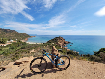
You pedal back to the starting point with the reddish rocks on the left and the blue sea on the right.
WARNING, there is no water along the route, the few drinking fountains in summer are all dry and it is very very hot since the route is almost totally in the sun.
