
 Italiano
 Deutsch
Pizzo Meriggio
Very challenging tour for elevation gain but with super descents!!! Water points uphill to about 1500 elevation, downhill to 1100 elevation. Completely rideable climb with constant gradient (except 100m halfway up with 20 to 30% gradients). Almost no traffic asphalt, immersed in the woods for about 1500m, last 500 on comfortable, well-trodden dirt road

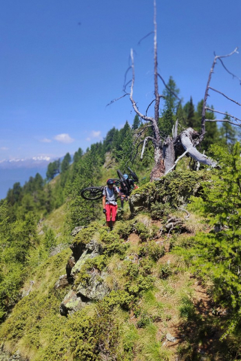
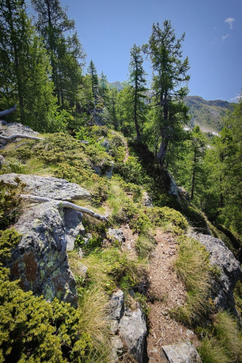
Reached altitude 2150, the proposed trail follows a very scenic ridge with a 300m section with bike on shoulder, on narrow and also exposed trail where you also need to use both hands, (I tied a rope around the bottom bracket like a backpack), I recommend lucidity given the exposure. In addition, the part on the ridge is like a mega-hill so double discomfort
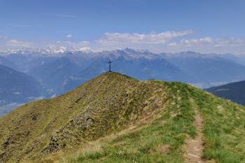
Alternatively, you can descend to the Meriggio hut and ascend from the trail where we descended. The ridge up to Meriggio is definitely more comfortable not exposed and mostly rideable with emtb. From the summit the view is spectacular 360°.

Descent to the piada on pratone with some not too complicated s2 passages
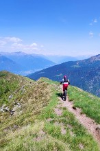
Traverse with a few raises that passes partly at punta della Piada on a beautiful technical but always manageable trail. When you reach the cart road you continue downhill with several interesting cuts. Continue on the trail for the most beautiful descent of the tour. The trail starts at elevation 1700, you can't see it well but it is there. It is a beautiful single track with relaunches technical passages, compressions,pure enjoyment!
The trail continues on several less memorable but still interesting descents. Alternatively you can detour to other tracks in the area run by various locals.
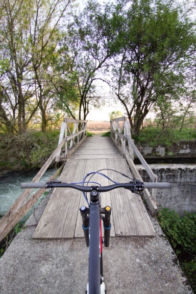
Return to the starting point from the bike path that runs along the Adda River.
The trail is an evolution of this one, but I think it deserves to be closed with a few more descents from after elevation 1100