Italiano
 Deutsch
Gran Canaria - Telde-LaGavia Circular
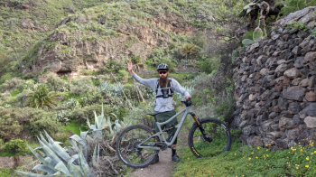
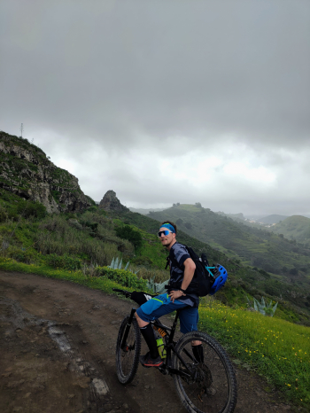
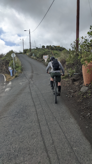
Gran Canaria, northeastern part of the island, here we encounter a weather mix between the dry heat of the south and the humid, rainy north. Departing from Telde on asphalt along the C-320, then at El Palmital we divert to a secondary road with exaggerated gradients typical of the island. The road runs along the ridge of the valley until it becomes a tough but rideable dirt road, very green and scenic environment.
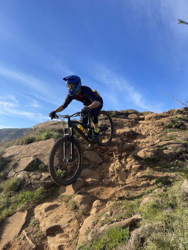
You cross the valley, and the descent begins on the ridge to the south, nice fast and technical descent with fantastic red loam, almost tropical environment eye for prickly pear cactus. At the bottom of the valley begins a very nice and scenic uphill trail, in the final part bike on the shoulder until intercepting the road, then pedal to Las Palmas mountain (very tough gradients). Short flow descent, with the possibility of intercepting a small park all the way to Telde to end this fantastic ride.