2023/03/10 12:06:18
Col Giassit - Valle del Lys
Author
Place
Italy - Valle d'Aosta, AO
Km
20,49 km
Elapsed time
03:06:00
Vertical meters
+903 mt (1247 - 2033)
Route difficulty
Landscapes
Last update
2023/03/10 17:38:24
Comments
Description
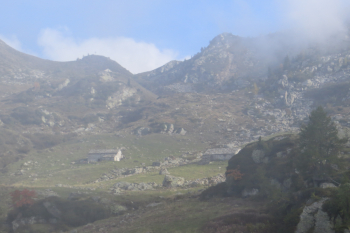
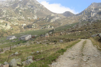
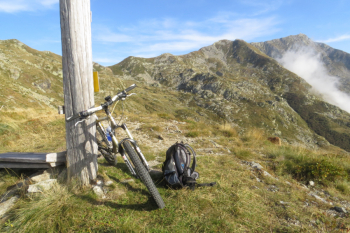
The climb starts from Remondin or, for brevity, from the upper hamlets, such as Chousette(mt. 1000) and, on asphalt, we proceed to turn left towards Le Sapin agritourism. We continue through the woods and on asphalt until we reach another fork, right to Alpe La Ciarma, continue left to the hamlets Stoba, Frenderessa and Bechera. In short we are at the pass, below the mountain of the same name. Again for brevity, trail 2 A downhill was partially traveled and we rejoined the uphill road.
Map no. 12 Basse Valli d'Ayas e del Lys L'Escursionista editore


Local weather

°C

°C

°C

°C

°C

°C
Graph
Nearest Routes
24,87 km
Km
+1 231 mt
Vertical meters
Route difficulty
Landscapes
25,79 km
Km
+2 400 mt
Vertical meters
Route difficulty
Landscapes
17,67 km
Km
+1 367 mt
Vertical meters
Route difficulty
Landscapes
21,23 km
Km
+930 mt
Vertical meters
Route difficulty
Landscapes
24,52 km
Km
+466 mt
Vertical meters
Route difficulty
Landscapes
18,95 km
Km
+1 050 mt
Vertical meters
Route difficulty
Landscapes
25,85 km
Km
+2 100 mt
Vertical meters
Route difficulty
Landscapes
27,23 km
Km
+1 889 mt
Vertical meters
Route difficulty
Landscapes
14,78 km
Km
+1 000 mt
Vertical meters
Route difficulty
Landscapes
37,32 km
Km
+1 850 mt
Vertical meters
Route difficulty
Landscapes


 Italiano
 Deutsch