Creste di Pregasina
This cyclo-mountaineering starts from the village of Pregasina, a small hamlet of Riva del #garda located at 535m above sea level precisely from the very cute little church of San Biagio. In a counterclockwise direction we will ride through Le Creste di Pregasina, in order the Nodice peak, Strussia peak, cima al Bal, cima della Nara peak all the way down to Mt. Guil, then a segment that is a great classic from Bocca Rocchetta to Cima Larici and finally another trail, simply amazing although not completely cyclable for the return to Pregasina.I would like to clear the field of misunderstandings right away, it is a trail although short relatively the elevation gain and development is very technical and strenuous, recommended for those who have the vocation of the off-route and do not lose patience in the fatigue that lingers.
Ready to go and a vigorous cemented road awaits us so as not to create illusions from the start as to what lies ahead. We proceed a little pushing and where possible pedaling up to the Scala Santa del Nodice, a beautiful path made by the Italian army in 1915 that we tackle with bike on our backs to the beautiful Nodice peak in front of the Ponale cima Capi and Rocchetta road. We bike along with a little bit of acrobatics the narrow (for the bike) but suggestive trench that almost completely bypasses the summit until we reach a Shrine where a stele honors the memory of the Alpini of the Vestone battalion (my beloved country) who fell on October 12, 1915 during the victorious assault on the summit.
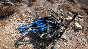
We now proceed downhill to the Bocca di Lè. From here the going gets tough, the trail winds through a very steep and dense forest causing constant stumbles in the vegetation and segments in the wall, trail for EE not without some exciting exposed passages.
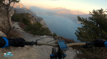
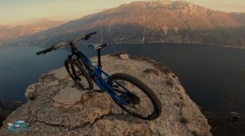
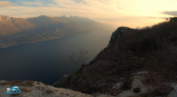
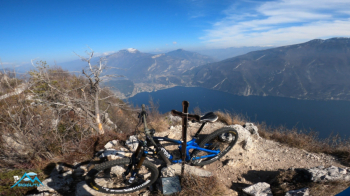
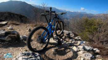
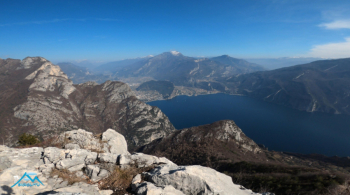
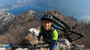
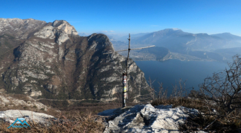
After only 1050 meters of positive elevation gain and past the anonymous Strussia peak we are at the summit of the peak al Bal (the star of the day) with disproportionate fatigue relative to the elevation gain. We could also call it the summit of the two lakes as from its cross we can admire in one glance Lake Garda and Lake Ledro as never seen, fantastic.
We now proceed on ridges (not bikeable) then on trail flanking the top of the Nara peak and here we finally begin to descend by bike on flow trail although not continuously, a few sudden climbs interrupt the fun up to Mount Guil, then down to the Rocchetta pass.
This segment, the Reamol ridges up to Larici peak does not need my description for sure, there are rivers of filmed images and descriptions so beautiful and coveted is it. After delighting in the unsurpassed panorama of Larici peak with a short fun stretch back we take the EE 422A "senter de la costa" trail the first long stretch simply amazing, joy without ifs and buts, then too vertical and bumpy for my skills so bike alongside until we join the forestry trail that shortly takes us back to Pregasina.
As I anticipate for the off-route lovers who don't get impatient in the hard shoulder-bike section, the frequent stumbles, the short but intense climbs. This is a photonic ride for them!


 Italiano
 Deutsch